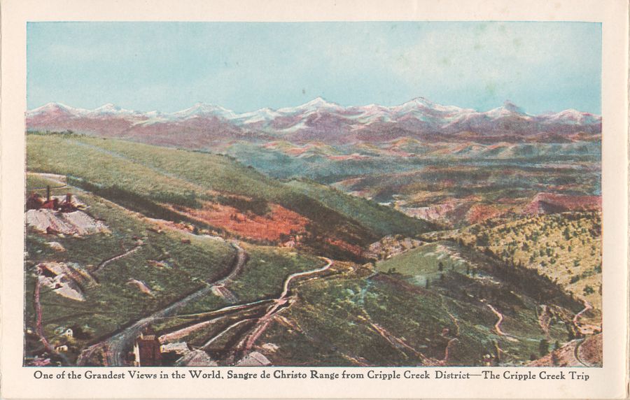
| << | This is a common view showing of the Magnificent view of the Sangre de Christo Range from the District. Overlooking Squaw Gulch, down near left corner you see part of the impressive Mary McKinney Mine structure, further up Guyot Hill you see what I believe is the Chicken Hawk Mine, while the roadbed of the Midland Terminal and the Florence & Cripple Creek curve around the hill further down. | >> |
This page Copyright [©] 2016 by Linda Irene Tingvik
(Pictures might have different copyrights - see album copyrights)
(Pictures might have different copyrights - see album copyrights)
