| << | >> |
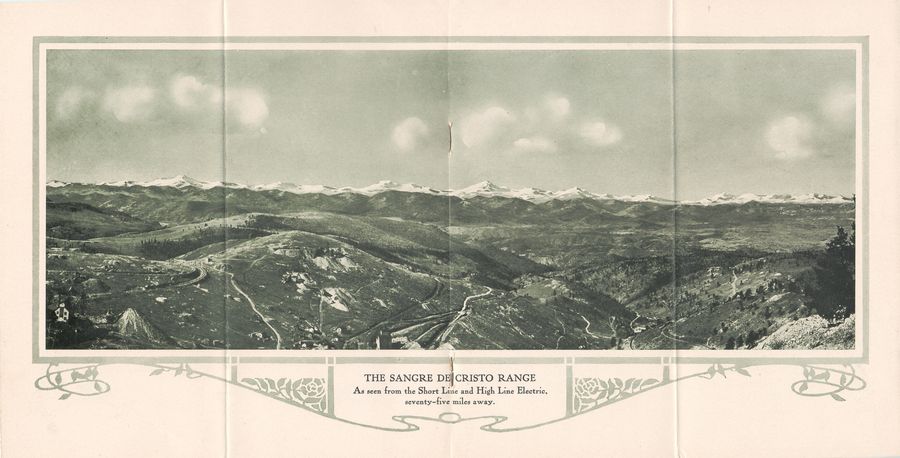
This magnificent view from high up on Gold Hill I think is telling quite a story about the trip. At lower left you see part of the Morning Glory Mine along the Low Line/Short Line roadbed, which you also see curve around the hill a little more up and to the right. The hill at the right of the Low Line is Guyot Hill, and near its top you have the Chicken Hawk Mine if I am not mistaken, and further down hill near center of page you see the top of the Mary McKinney structures. Also the roadbed of both the M.T. and the F. & C.C. can be seen circling around Guyot Hill. Both roadbeds can also be seen even more to the right, coming out from Anaconda and circling around Lower Gold Hill toward Cripple Creek out of sight at right. |
This page Copyright [©] 2016 by Linda Irene Tingvik
(Pictures might have different copyrights - see album copyrights)
(Pictures might have different copyrights - see album copyrights)
