| << | >> |
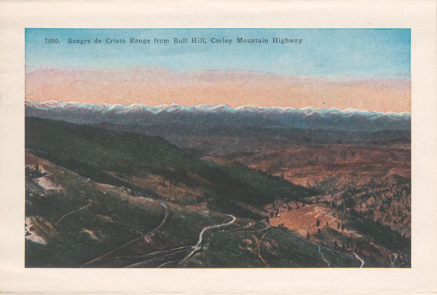
Yet another common view from inside the Cripple Creek District, often used when showing of the views from the Short Line... The snow capped Sangre de Christo Mountains makes one great background I would not mind at all to have from my home! The view shows what I believe is the Chicken Hawk mine, the roadbed of both the M.T. and the F. & C.C. leaving the valley where Anaconda was located, and in-between we see the road going towards Victor by the way of Arequa Gulch on the other side of the Guyot Hill partly seen at the left where the mine is located. |
This page Copyright [©] 2016 by Linda Irene Tingvik
(Pictures might have different copyrights - see album copyrights)
(Pictures might have different copyrights - see album copyrights)
