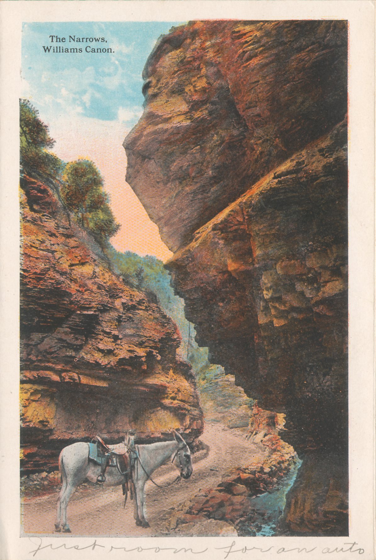
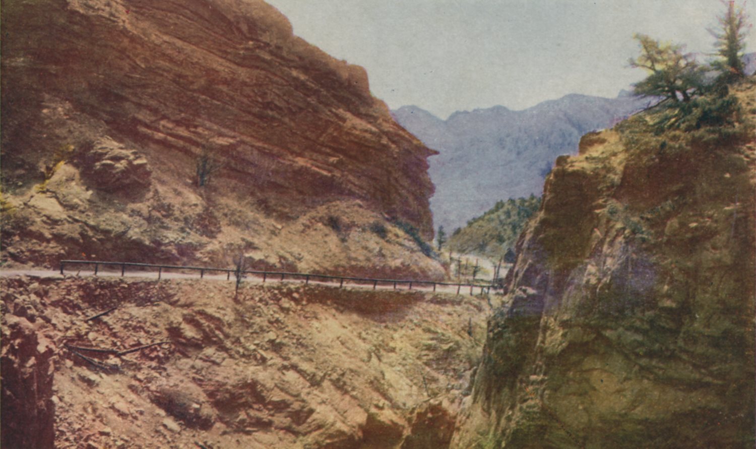
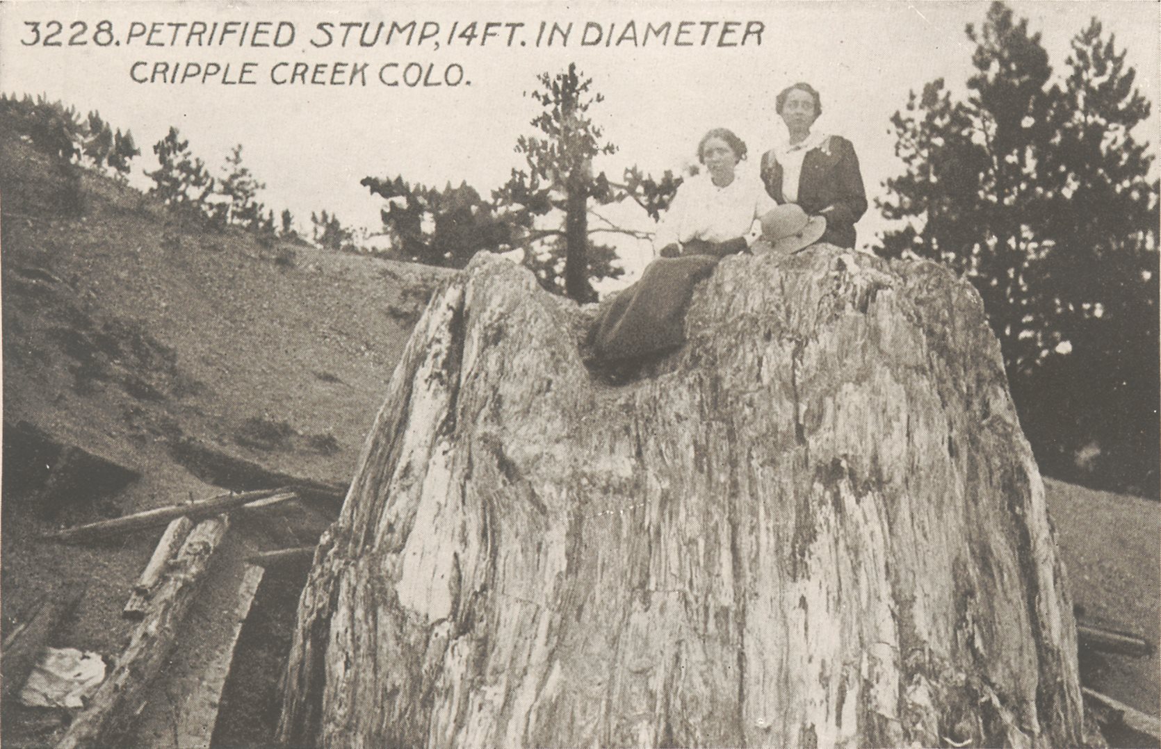
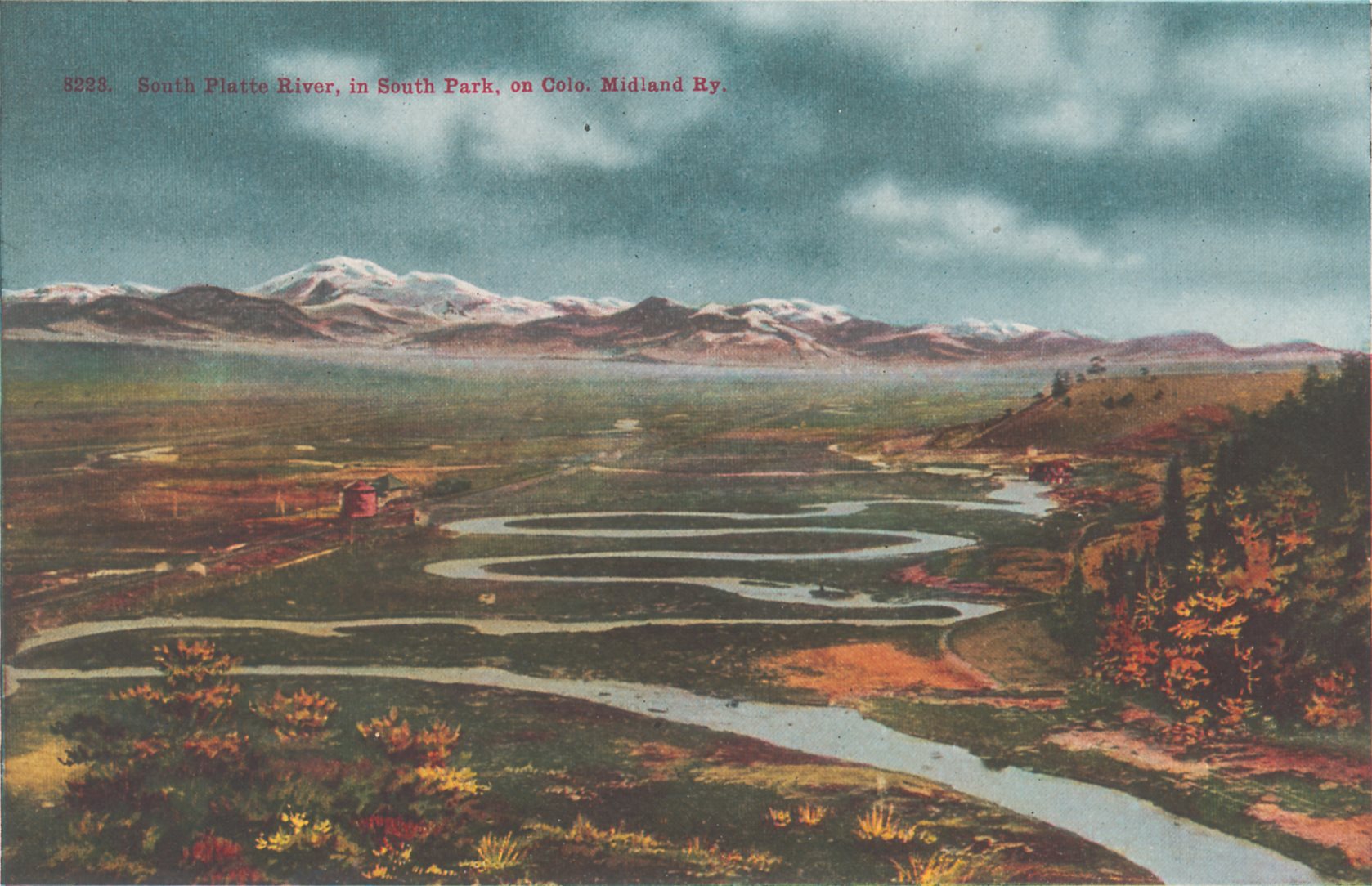
-> My Collection; No source to show as I've not shared the Mining Journal as an album.
But, here is a link to first page on Hathi Trust Digital Library website.
November, 1899 (page 179->180)
Source had no images, so I used some images from my collection.
Our destination was to examine some prospects between Cripple Creek and South Park, stopping on the way to look at some properties in the Florissant basin.
On leaving Colorado Springs, we passed through, in the train, that wonderful section of the earth's crust which is exposed along the road for some 8 or 10 miles, between the Springs and Manitou, at the foot of the granite range, consisting of wave upon wave of uptilted, and many-colored strata of sandstones, shales, and limestones from the Tertiary in the bluffs at Colorado Springs, to the Cambrian and Silurian, resting on the Archean granite at Manitou.
From Colorado Springs to Colorado City, the entire Cretaceous system is exposed, consisting of the Dakota sandstones, the Colorado limestones, with their characteristic large fossil inoceramus shells, and the Montana marine shales.
The Jura Trias is conspicuously displayed in the wonderful red and white sandstones of the Garden of the Gods, and the Paleozoic rocks by the limestones and sandstones of the Cave of the Winds and the Ute canon, close to Manitou.
Yet in all this wonderful display of so many thousands of feet of rock composing the earth's crust, and usually buried from view beneath the grass of the prairie, the prospector would find little of any value to reward search for the precious metals. The reason of this appears to be the absence of any signs of great metamorphic heat in these unaltered sedimentary rocks, and the absence of volcanic rocks of any kind, both of which seem necessary factors in Colorado, at least, for the presence of valuable ore bodies. These same rocks higher up within the heart of the mountains, as in South Park, Leadville, and Aspen, where both metamorphic heat and eruptive forces have abounded, are prolific in precious ores.
At Manitou we leave the last relic of the sedimentaries, the Cambrian sandstone, resting on the granite shore line, and plunge for many miles into the heart of the coarse granite of the Pike's Peak mountain system and the Front range. This, for the most part, is also unproductive, until we reach the vicinity of Cripple Creek, where the eruptions from the ancient volcano of andesitic and phonolite lavas gave to the world the telluride gold-bearing ores which have made Cripple Creek so celebrated.
The monotony of the granite continues till we near Florissant station, where banks of white paper-like shales appear on either side of the railroad, abutting from the granite, or resting upon it horizontally like the waters of the ancient Tertiary lake that deposited them, and which occupied the pretty glade and parklike depression among the hills, known as Florissant basin. Here we alight and are driven down through the meadows and open valleys of the basin.
This basin, but a few miles square in area, consists of parks and park-like valleys winding in and out among the hills, dotted over, here and there, by granite knobs which must have been islands in the lake, since the lacustrine shales and sandstones gather around them.
Near one of these islands we came upon the remains of stumps of gigantic fossil trees surrounding the island; they vary from 8 to 10 feet in diameter. In former years many of these stood up several feet above the level meadow, but they have been mostly razed to the ground by visitors and vandals. One monster, however, remains standing up from the excavation about its root for 12 feet, and with a diameter of 15 feet. This, too, would have been broken up and carted away, for the stone saws that attempted to cut it in sections still remain sticking in the tree. At a glance, any one familiar with the great redwoods, or Sequoias, of California, recognizes in the perfectly preserved bark and grain of the wood that it belongs to the celebrated Big Tree family, though a long way from its living types on the Pacific coast. A microscopic examination of the woody cells, as well as the fact that the shales at its feet are full of the fossil foliage and cones of the Sequoia, prove, beyond doubt, the character and species. These shales contain more of interest than the gigantic trees, for they teem with the most exquisitely preserved forms of fossil insects, from the gay butterfly, with its microscopic feathers and delicate antenna, to the flying ant and water beetle, and with them the dragon fly, cricket, and semitropical lanthorn fly and many other species, such as frequent a tropical lake. The remains of a few birds, and also numerous fossil freshwater fishes have been found, together with finely preserved impressions of semitropical trees.
The shales themselves are very interesting under the microscope; they are almost as fine in texture as paper, and under a powerful lens are found to be made up of comminuted volcanic fragments, or volcanic dust. The coarser sandstones beneath them show the same elements in coarser form. These elements represent all the varieties of eruption that have occurred in the history of the lake, such as andesite, rhyolite, trachyte, and basalt.
It is in the volcanic structure and origin of these shales and sandstones, or more properly volcanic tuffs and breccias, that the prospecting interest centers, as will be shown later. The history of the basin, judged by its fossil flora and fauna, and its component rocks, would seem to be that at some period in late Tertiary times, a lake existed at this spot among the hills, surrounded at that warm period by semitropical vegetation and trees, including the great Sequoia. Tropical insects flitted over the waters, or were caught and entombed, in the mud, or possibly dropped in the lake overcome by mephitic gases emanating from solfataric eruptions.
During the history of the lake, a series of eruptions of a highly explosive character broke out from volcanic vents in the vicinity. By these the different lavas were hurled into the air, and were in part comminuted into the finest and most impalpable dust, such as has occurred in the great eruptions of Krakatoa in the Javanese Archipelago. This fine dust falling into the lake became mud, and by pressure, shales, while the showers of coarser material became the volcanic sandstones, conglomerates, and breccia.
When it became known that these volcanic tuffs and breccias were of the same material and were produced in much the same way as those of Cripple Creek, by the Cripple Creek volcano, prospecting was naturally turned in this direction, and every bed of tuff and breccia, as well as dikes and dike contacts, were overhauled and prospected in hopes of finding something besides fossil insects and leaves.
The flows of lava seem to have followed very much the natural drainage and depressions of the country, for we find the valleys and parks underlaid by flows of rhyolite and andesite tuffs and breccias, while in the bare granite hills around are the relics of numerous dikes from which, doubtless, the eruptions emanated. The granite, as a rule, is massive, coarse, and monotonous; occasionally, however, showing well defined veins of pegmatite, or coarse granite and feldspar, zealously prospected by the indefatigable prospector, but with no results. The same seems to be the experience with the dikes; a possible tinge of purple fluorine, or a stain of green copper might lead on but to labor in vain.
One of the most curious and instructive features among these massive and otherwise monotonous granites was a zone of vertical schists, from 75 to 100 feet wide, passing for miles through the heart of the otherwise homogeneous granite. The zone of schists being softer than the surrounding granite, and by their structure likewise attracting the drainage of the surrounding region, were decomposed, and by their erosion caused a long narrow valley, traceable for several miles.
The variegated and decomposed outcrop of this zone attracted the prospectors, and a shaft had been put down, and levels run off from it for a considerable distance in search of ore, of which but little was found. The cross-sections of the belt in the depths of the mine presented some interesting geological conditions which, in more favorable regions are sometimes accompanied by ore deposits.
The zone of schists lay between well defined walls of massive granite showing slickensides, gouge, and other signs of movement, such as are common in orthodox fissure veins. But this slickenside was not confined to the granite walls, for every individual member of the schists was slickensided, and carried gouge between it and its neighbor. So for those who in mines look for "walls," there were "walls" and gouge at every few inches, walls within walls and walls ad infinitum.
The origin of this schistose zone appeared to be a mechanical one, viz., that the schists were mechanically formed at this point by a faulting and shearing of the granite, splitting the massive rock into a multitude of thin parallel sections and with continued movements, each section was rubbed against, or slipped against its neighbor, the attrition causing both the slickenside and the gouge.
Such sheared zones, at Cripple Creek in the Gold Coin and other mines, are often fertile zones for copious ore deposition, and the infiltration of mineralizing solutions, such as fluorine, accompanied by telluride and pyrites, and other gold-bearing ores. In the present case there were no such mineral signs to prove that this zone has been selected as the pathway for ascending mineral matter, showing that conditions that may be rich in one place, and under certain circumstances, may be poor in another, and that sheared zones are not necessarily mineralized ones.
Near the village of Florissant is a prominent peak called Crystal Peak; from veins and crevices in the granite of this peak, quantities of those fine emerald-green feldspars, called Amazon stones, have been collected, which have made the Pike's Peak region celebrated. Close to the village is a smooth circular hole about 2 feet wide, and of unknown depth in the lava rocks, which was doubtless a steam vent at the time of the eruption.
In the narrow canon leading from Florissant to South Park, the massive granites show, in a remarkable manner, a system of parallel joint cracks, usually from 10 to 20 feet apart, with a northwest to southeast direction. These cracks are sometimes wide enough for a man to crawl into them a little way, but doubtless they close up more tightly with depth below the surface. They suggest, however, to the student of mineral veins, the apertures through which mineral solution and vein matter might have had access to form our so called true fissure veins. The suggestion becomes more forcible from some of these joint cracks or fissures being actually filled by pegmatitic matter of crystalline quartz and feldspar, though without the metals.
The outlet of the canon brings us into the great basin of South Park, underlaid by the sedimentary formations of all ages, from Cambrian to Quaternary; at one time of its history an arm of the sea, later an inland sea, and later still a freshwater lake, fed by melting glaciers, and now a great park meadow, dotted with hay farms and cattle ranches.
The park strata are traversed from end to end by dikes and flows of eruptive rock of andesite, rhyolite, and basalt, part of the great series of eruptions whose evidences extend from Cripple Creek and the Arkansas river on the south to the foot of the Sawatch range on the west, with a width of about 50 miles, and a length of over 100 miles. The whole country north of Cripple Creek to the borders of the South Park is more or less traversed by dikes and covered with lava rocks and beds of volcanic tuff and breccia, resting on a flow of red granite, which is laid bare by erosion in certain areas.
As these eruptive rocks, with the exception of phonolite, are much the same as those of Cripple Creek, though issuing probably from other vents than the Cripple Creek volcano, it is no wonder that this area has been a favorite prospecting ground for those who could find no foothold in the much taken up camp, and with every promising or hopeful discovery, a little hamlet has sprung up, such as Freshwater, Guffy, Alhambra, etc.
The region consists of soft rolling hills, abrupt tablelands, and numerous ridges. The smooth outlined hills are mostly composed of beds of andesitic tuff and breccia, sometimes capped by a body of light-colored slaty rhyolite, while the slopes may be riven by a network of narrow basaltic dikes, often crossing one another. The tablelands are formed by flows of lava, doubtless from these dikes. In one hill we counted as many as ten or twelve terraces, each terrace representing a different flow of lava and separated from one another by soft beds of scoria or tuff.
Some of the dikes and flows show an amygdaloidal structure, i.e., they are full of oval cavities caused by escape of steam and filled by calcite, or other crystalline substances. On one such amygdaloidal dike, cutting through beds of andesitic tuff and breccia, a prospect was located, doubtless hoping that the dike might be as productive as some of those in a similar geological relation at Cripple Creek, and that its porous condition might have been an attractive one for the infiltration and precipitation of precious mineral solutions. Other prospects were judiciously located at the point of intersection of two dikes, others again, at the contact of dikes with granite, or of two varieties of lava flows, all good enough locations from a geological point of view, but so far without much sign of production. Among evidences of solfataric action in the neighborhood were several wide fissures filled with crystalline calcspar, showing a ribbon structure or successive filling. At one place near Guffy is a mound of white travertine caused by soda springs of a very pleasant taste issuing from the rocks.
Though the neighborhood has not produced, so far, any shipping mines, yet the character of the rocks and their similarity to those of Cripple Creek, in the early days overlooked, make the prospector hopeful of success.


