-> HathiTrust Digital Library Site; Link to first page of article text.
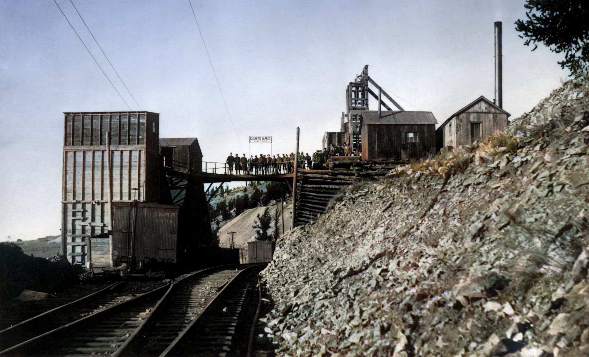
Source had no images, only the graphic maps, so I added some from my collection.
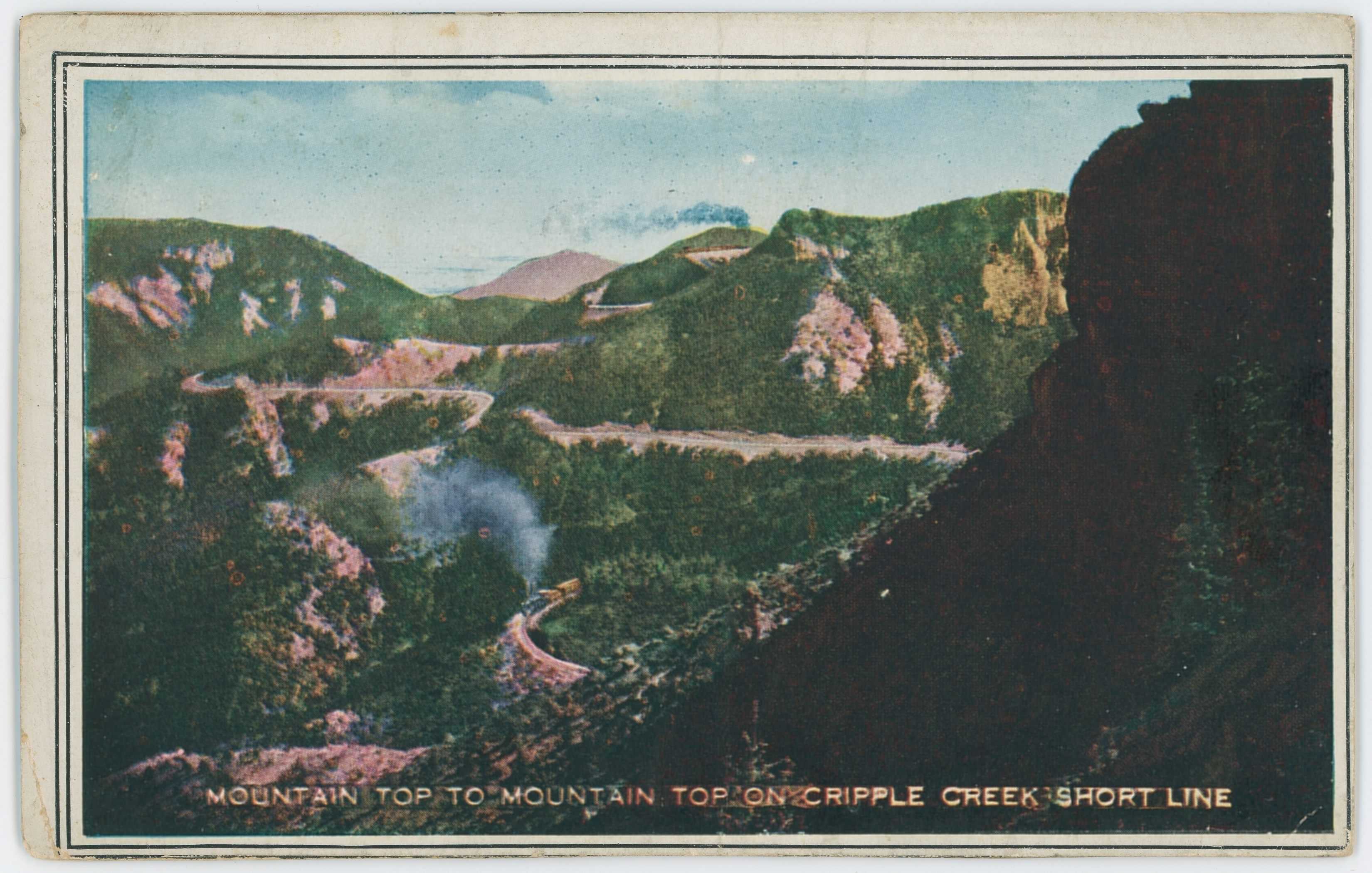
The Colorado Springs & Cripple Creek District Railway, which climbs the Rocky Mountains from their base at Colorado Springs to their heights in the Cripple Creek mining region, is a remarkable undertaking in several ways.
From an engineering standpoint it was a bold achievement to find a practicable route around the rims and through and over the tops of these great mountains up to an elevation of 10,000 feet;
from a traffic standpoint it is unique, dependent on the business developed at its mountaintop terminal, being without intermediate traffic; from a scenic viewpoint it is hardly surpassed for grandeur and beauty;
from an operative point of view unique in its combination of steam and electric power over a large mileage of terminal tracks, carrying both freight and passengers,
and from a financial point of view remarkable in showing the low ratio of 47.12 per cent for expenses of maintenance, equipment and conducting transportation, leaving 52.88 per cent for net earnings.
Though built for the prosaic purpose of hauling ores from the mountain mines to the smelters on the plains, 4,000 or 5,000 feet below, the Cripple Creek Short Line soon acquired international reputation as a road of great attractions for tourists.
From Colorado Springs to Summit, 21 miles, a uniform grade of 3.56 per cent, 188 feet to the mile, is maintained, and heavy engines take it without complaint, winding over a continuous curvature with a maximum of 16 degrees. The solidity of the roadbed inspires confidence and indicates safety—75-pound rails on heavy, closely spaced ties, based on solid rock and bedded deep in disintegrated granite, clean and dustless.
Two characteristics of ordinary roads are notably lacking—tangents and levels—but the passenger, seated in a luxurious observation car, is well content to exchange high speed possibilities for the mighty scenery that absorbs his attention every moment.
The time from Colorado Springs to Cameron Junction, 39.5 miles geographically and 4,048 feet vertically, is 2 hours 40 minutes, including several station stops. At Cameron the road forks, one line climbing on to Cripple Creek, 45.8 miles from Colorado Springs, and 9,505 feet above the sea, and the other winding around on the left to Victor, the rival mining camp, 44.6 miles from the starting point; elevation, 9,734 feet.
The accompanying diagram, with its beautiful straight black lines, which is reproduced from the official guide book of the company, exemplifies the usual practice among general passenger agents in map making for their own roads, but is seriously lacking in orographic accuracy.
It is fair to assume that Mr. MacWatters started out to make an honest map of his line, but got his pencil so mixed up in the curves, reverse curves, horseshoe curves and double and twisted loops that he despaired of his task and decided that the ruler plan would give the world a better idea of the relative positions of the points reached than the most truthful tracing—which is correct.
The weird and wonderful cities of this great gold field, Cripple Creek and Victor, the termini of the railway, as it was completed in April, 1901, are now connected by a system of roads, which are remarkable examples of mountain railway building, tortuous, steep, overhanging deep valleys, giving grand views of snowy ranges, crawling around the pits of mines, stopping at the doors of mills, and winding through the single streets of mining villages, carrying passengers and freight where otherwise transportation would be well nigh impossible.
The most notable feature about these terminal roads is the combination of motive power by which they are operated—some tracks by steam alone, some by electricity, some by both steam and electric trains. The accompanying map, prepared for The Railway Age by Chief Engineer Waggener, shows the unique operating arrangement over these tracks.
p197-crpd_map-cs-n-ccd-steam,electric-n-joint-lines.png)
District Map of the Colorado Springs & Cripple Creek District Railway—Steam, Electric and Joint Lines.
Map by: T.L. Waggener, Created Around 08.1905
There are here 13.44 miles of track used jointly by steam and electric trains and 2.63 miles of track used only by electric trains. The total trackage, including main line, branches and spurs, is 74.5 miles. At the date of the last available information there were operated 120 regular daily electric trains—78 via the second electric division (commonly known as the "Low Line"), and 42 via the first electric division, or "High Line."
This number, of course, is augmented by a large number of specials to accommodate extra travel and excursion travel. All of the regular electric trains are scheduled on the timetable as steam trains are and are given the rights of first class trains. All trains are handled under standard rules and special orders, no distinction being made between the steam and electric trains.
The map shows the track used by both steam and electric trains, both out of Victor and Cripple Creek, and by trains from both the electric divisions, as well as steam line entering Cripple Creek. The piece of track between Victor Junction and Cripple Creek station is operated by block system in order to facilitate the safe and prompt movement of all trains entering and leaving Cripple Creek.
Of the lines in the Cripple Creek district over which both steam and electric service is maintained, there is but little that is not traversed by the switch crews in moving loads in and out of the mines located at the numerous sidings and spurs.
Respecting the effect of electrifying the steam lines, President Howbert in his annual report for 1903 said:
"Among the many important improvements recently made in the Cripple Creek District lines, none have proven more beneficial than the changes made by electrifying the steam lines from the city of Victor, through the towns of Goldfield and Independence, to a point on the old electric line, known as the high line, near former station of Dyer, and the electrifying of the steam line from Victor Junction, near Cripple Creek to high line crossing No. 2.
Electric suburban passenger business is now being conducted over these tracks without interfering in any way with their operation as steam lines—steam locomotives and electric cars using the same tracks. The above changes have enabled the company to discontinue the use of portions of the high line having excessively heavy grades; the result has been a decrease in operating expenses, and an increase of business from the district through which the new line runs.
The main line is now being electrified between high line crossings Nos. 1 and No. 2; when this is done all of the very heavy grades on the high line will have been eliminated, greatly reducing the cost of operation in the way of requiring a smaller amount of power and in the maintenance of much less trackage.
The system of electric lines is proving a very valuable adjunct to your steam lines."
The results of still farther extending the electric equipment of these roads, since this report was written, appear to have been equally satisfactory.
Altogether, the Colorado Springs & Cripple Creek District Railway, main line and mining terminals, represents a unique combination of engineering, operative and traffic conditions. Intended primarily for freight, it has developed a large affinity for tourist travel, over 34 per cent of its earnings in a year being made by passenger trains.
As an additional attraction General Passenger Agent MacWatters has devised a scheme of running gravity cars for tourists from the summit down to Colorado Springs, a ride 21 miles long and about a mile deep, under conditions certainly exhilarating and at some points—as over the high trestles—possibly hairlifting.
With steam, electricity and the attraction of gravitation all utilized as motive powers, the scenic Cripple Creek Short Line can make unusual claims upon public attention.


p196-crpd_diagram-cs-n-ccd-ry_6d.png)

