-> HathiTrust Digital Library Site; Link to article text.
Abstracted from a larger article starting on page 511 and ending on page 517. Source had 2 bad images linked to this text, I used similar other pics from my collection, check source page 511 & 515 to see the originals.
THE HIGHEST RAILWAYS IN THE WORLD
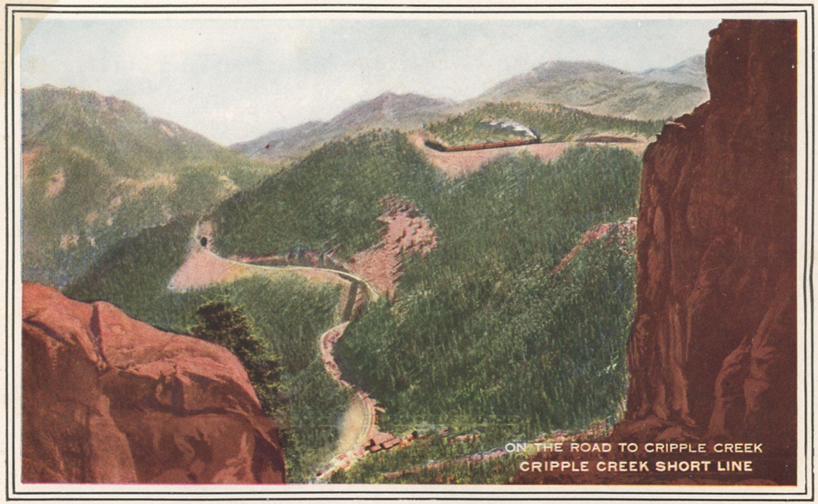
The Colorado Springs and Cripple Creek District Railway, usually called the Short Line, stands in a class by itself. It was purposely constructed on high mountain slopes, rather than in valleys and ravines, in order to obtain the largest number of scenic attractions.
On the Short Line the traveler looks down into Cheyenne Canon and other gorges, or gazes across stretches of country with wondrous heights and depths in all directions.
Some details of the construction of this railway may give the reader an idea of the difficulty of mountain railroad building.
For a large part of the way the roadbed was cut out of the granite on the east and south sides of Pike's Peak. The track is forty-five miles long, while the air line between Colorado Springs and Cripple Creek is nineteen miles.
The bends and windings back and forth make up the extra distance. There are spiral curves and horseshoe curves by the score, spanning the gorges and twisting around the mountains.
One of the most difficult pieces of engineering on the line was between Duffield and St. Peter's Dome, three miles of track being laid to gain a distance of 1,600 feet and an elevation of 540 feet.
From Fountain Creek near Manitou the road follows the Frontal Range of the Rocky Mountains to Summit, a distance of nine miles by air line, with an elevation of 3,960 feet.
Because of the rugged and precipitous character of the country, the construction engineer, Mr. T. L. Wagner, found it necessary to develop twenty-one miles of line between the two points nine miles apart.
The maximum grade used is nearly four per cent. He ran about one hundred miles of preliminary lines in locating the best line for the route. Less difficulty was encountered in the undulating surface of the western half of the line.
Nine tunnels were bored through granite and hard rock formations, the longest tunnel being 532 feet. In building the roadbed, immense masses of rock slid down the mountain side upon it, greatly obstructing the work.
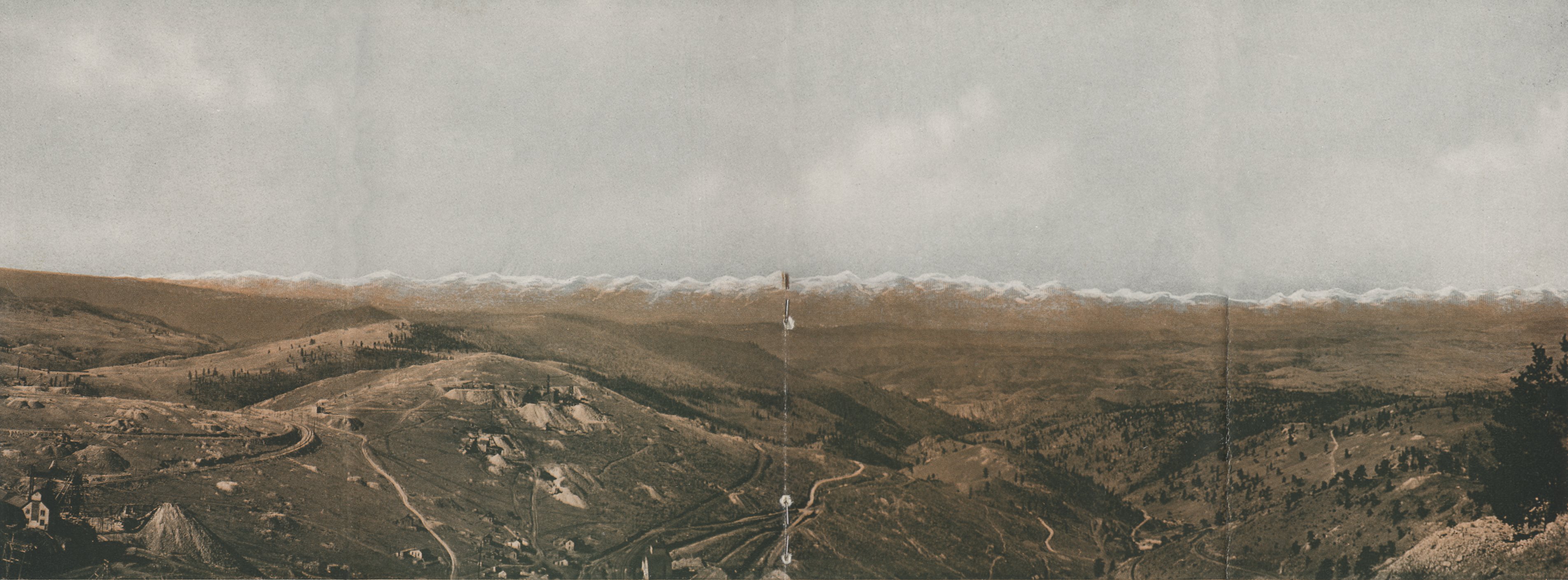
The highest point on the line is Hoosier Pass, 10,360 feet, which commands a magnificent panorama of mountains and valleys. The two-and-a half hours' ride over this high railway affords the traveler a series of views of unexcelled beauty and sublimity.

