-> My Collection; The whole book can be seen here as an Image Only Album, or direct to the page of this text here.
(pages 19 + 21)
[Images used was not part of article]
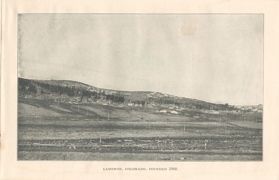
... And as we let our thoughts dwell upon the beauty of the scene, we find ourselves already nearing the end of our short but marvelous journey, and Bull Hill in the distance looms up to turn our attention to mines and mining and to warn us that the great Cripple Creek District is at hand.
Close by to the left stands Altman, which enjoys the distinction of being the highest incorporated town on the American continent. It is over 11,000 feet above the sea level.
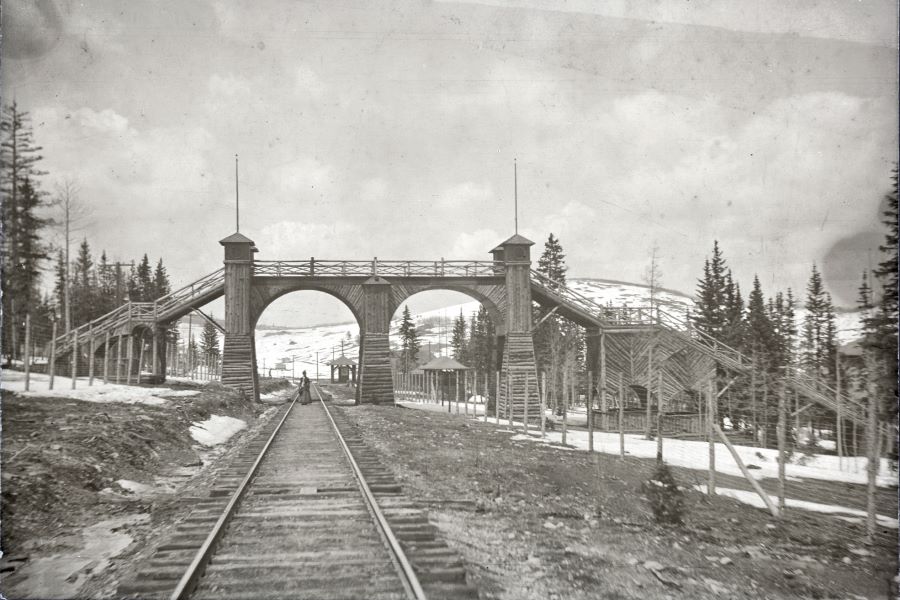 View along the track to the Wood Walkbridge crossing the railroad at Cameron for the Park.
You enter the greatest gold bearing district in the world at Cameron, where, to your right, many of the large producing mines are visible, including the Isabella, Victor, Forest Queen. Jerry Johnson and many others, all of which are located on Bull Hill. Next you see the Bull Cliffs, the scene of the great battle between deputy sheriffs and miners during the strike of 1893.
Comes next, at which point you will notice the large samplers where the valuation of the ore is determined."The Copeland Sampler, to the left, paid the Isabelle Mine, which you just passed, $219,090.92 for one carload of ore."
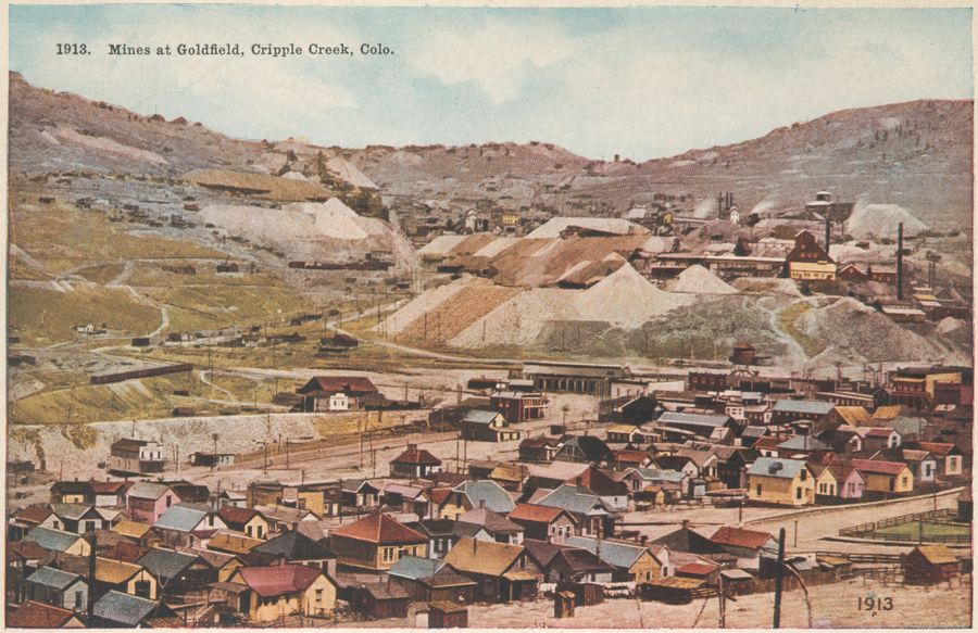 View Towards Goldfield
To your right is located some of the greatest mines in the district, which includes the Vindicator, Hull City and Findley. On your left is the famous Golden Cycle Mine and further below the town of Goldfield. As you leave this station, to your left, Altman, the highest incorporated town in the world is seen. On top of Bull Hill, a little farther to your right, you pass the Last Dollar Mine, and directly below this point is located the Eagle sampler.
Up the hill (Battle Mountain) you see the greatest gold mine in the world, the Portland, producing 10,000 tons of ore monthly, which has paid $8,000,000 in dividends. Directly below the Portland, on the opposite side of the tracks, is located the Stratton's Independence, the first large mine in the District, which W. S. Stratton sold for $10,000,000.00. To our left is the City of Victor, the next largest city in the District.
 Granite Mine, former
Gold Coin Mine
This city is famous for being located right at the door of the largest mines. Notice the Granite Mine right in the center of the town. This is the only brick shaft house in the District. Passengers may leave the trains here and visit some of the mines, and take the famous Electric Car Ride on over to Cripple Creek, or remain on the Electric car and taken your train returning to Colorado Springs at Victor.
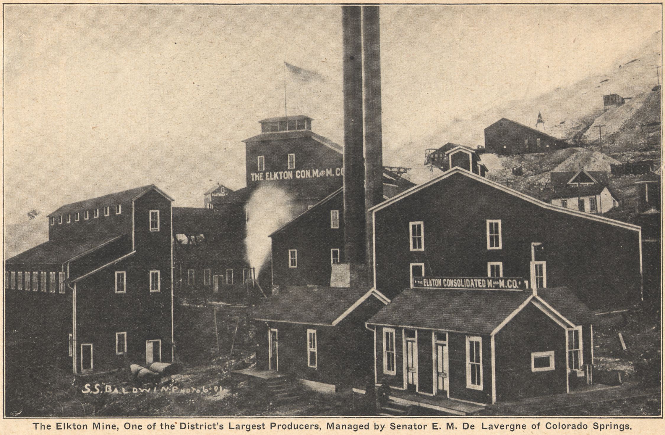 Elkton Mine, June 1901
Photo: S.S. Baldwin
Elkton Mine to the right. Approaching this station away up the hill (Bull Hill) you see the American Eagles, Blue Bird, Gold Sovereign, Cresson, John A. Logan and several other mines. You pass directly by these properties, as well as many others, by taking "The Circle Electric Trip."
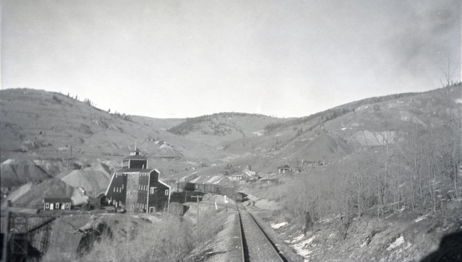 Mary McKinney Mine, along M.T. tracks in 1916
Up the hill (Guyot Hill) you see the Dr. Jack Pot, Aileen and Chicken Hawk mines, to your left the Mary McKinney and Anaconda. After leaving this station, to your left, you see the mouth of the Moffat Tunnel. Notice the tramway from the tunnel to the railroad tracks, to handle the ore from the Little Clara Mine. This property has recently produced $500,000.00 net to the lessees in six months.
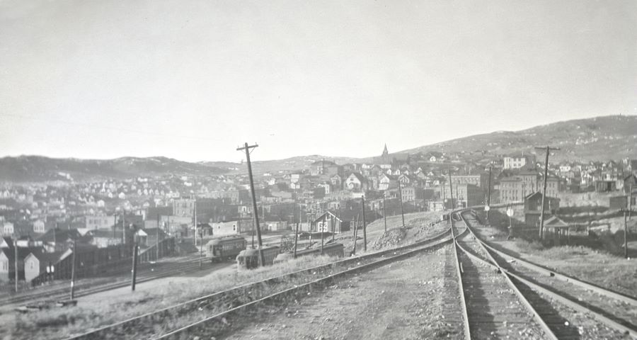 View C.C. Town, along M.T. tracks in 1916,
Short Line Yards & Trolleys down at left
As the train climbs over the crest of Gold Hill the snow-capped peaks of the Sangre de Cristo range of mountains, fifty miles away, are distinctly seen on the horizon, presenting a picture of wonderful beauty. In the valley at our feet lies Cripple Creek, a thousand feet beneath us. From this point the descent is made by easy grades, until the city is reached. Now you arrive at the end of your journey and see the County seat of Teller County. Cripple Creek has a population of 15,000.