-> My Collection; No source to show as I've not scanned the Mining Journal as an album.
But, here is a link to first page on Hathi Trust Digital Library website.
(page 110)
Source had no images, so I used one from my collection, sadly had none linked to this tunnel so used a later drainage tunnel image.
In the infancy of its development Cripple Creek was considered a very dry district, water had to be transported for boiler use and the few insignificant streams of the region did not suffice to supply the early stampmills.
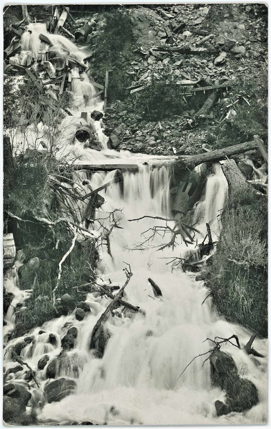
View flow of water from the Roosevelt Tunnel.
In shaft-sinking water was soon encountered, at varying depths, usually about 350 feet below the surface, and as development progressed it was found, from the records of the first five wet mines, that the water level was at a horizon which stood about 9,500 feet above sea level. The drainage of the district by adits, penetrating the veins at successively lower levels, together with continuous pumping, on the part of mines which went down independently of the adits, has lowered the ground water to the extent of 500 feet below the original level.
Mr. S. W. Mudd, who made a careful investigation of the problem in behalf of the Elkton Company, concluded that the water now being pumped is being drawn from vast accumulations underground, rather than due to a steady inflow from the surface at more or less distant points. He considered that the data obtainable indicate that a depth has been reached where the accumulated water is becoming decidedly less in amount and he estimated that the flow has decreased from 107,000,000 gallons per vertical foot to 44,000,000.
He recommended a drainage adit, planned so as to tap the water zone and render further deep explorations possible without the incubus of heavy pumping costs. This recommendation is to be put into effect. We note the fact with pleasure, for it will most assuredly give a stimulus to the further development of a great gold-field.
The careful study of the water problem, which resulted from the unsuccessful attempt of the Elkton Company single-handed to lower the water level, developed the important fact that at the present time the water in the Cripple Creek region is uniform over a-very considerable area, its level being 9,042 feet above sea level, or about 15 feet below Elkton's 700 foot level. This drainage basin comprises Beacon, Raven and Gold Hill. The Isabella property and the northeastern part of the district generally, as well as some portions of the southeastern areas—certainly the Gold Coin Mine—seem to be in a different basin, which doubtless includes the Vindicator, Golden Cycle, Independence Consolidated and other ground on the eastern slopes of Bull Hill proper.
The tunnel which is about to be begun will have its entrance near the junction of Arequa Gulch and Cripple Creek, and will be driven in a northeasterly direction to connect with the southern sixth level of the El Paso Mine, a distance of about 4,000 feet. From this point it will be continued, through the granite, for a further distance of from 2,000 to 2,300 feet in the same general direction, until it penetrates the eruptive area where one of the main watercourses will be cut.
It is proposed to drive the tunnel from five headings—two in the El Paso workings, two in the shaft which will be sunk about midway and one at the entrance. It is believed that six months will complete the work, though we understand that the contract limit is eight months. The level of the tunnel will be about 235 feet below the present water level. If the main watercourses are found to be connected at this horizon, of which there can be little doubt, it is reasonable to expect that the water during the present year will be materially lowered over an area extending from the Gold King on the north to El Paso and Elkton on the south, and that ultimately this level will be lowered fully 235 feet. It is also quite possible that the influence of this tunnel will extend beyond the limits of the area indicated, though it may be exerted more slowly.
Estimates of cost are in the neighborhood of $80,000, and this amount has been subscribed, largely by the principal companies to be benefited, although we believe that the railroads, smelting and reduction works and other collateral interests have also assisted. That this enterprise marks a new era for Cripple Creek we certainly believe. It is a pity it was not done sooner, as suggested by several representative mining engineers at least four or five years ago, but, of course, at that time the work was not such an obvious necessity as it is now and when mines are in bonanza their owners are apt to be satisfied with conditions as they find them.
The Sutro Tunnel was too late for the Comstock—for the ore, if not for the water; the Newhouse tunnel would have fared better if it had been started ten years sooner and the drainage adit planned by Mr. Wm. Byrd Page for Leadville, in 1891, was unfortunately never undertaken, so that in each of these three instances important mining regions suffered from that procrastination which is often fatal to mining operations. Cripple Creek, luckily, is still vigorous and though it has passed the flush of exuberant youth it bears the promise of a steady and vigorous productiveness which will derive an invaluable aid from the engineering undertaking which we have been discussing.
May it prosper.