-> My Collection, Also on
-> the Internet Archive Site; Link to article.
New Year Edition 1903
(pages 56-57 )
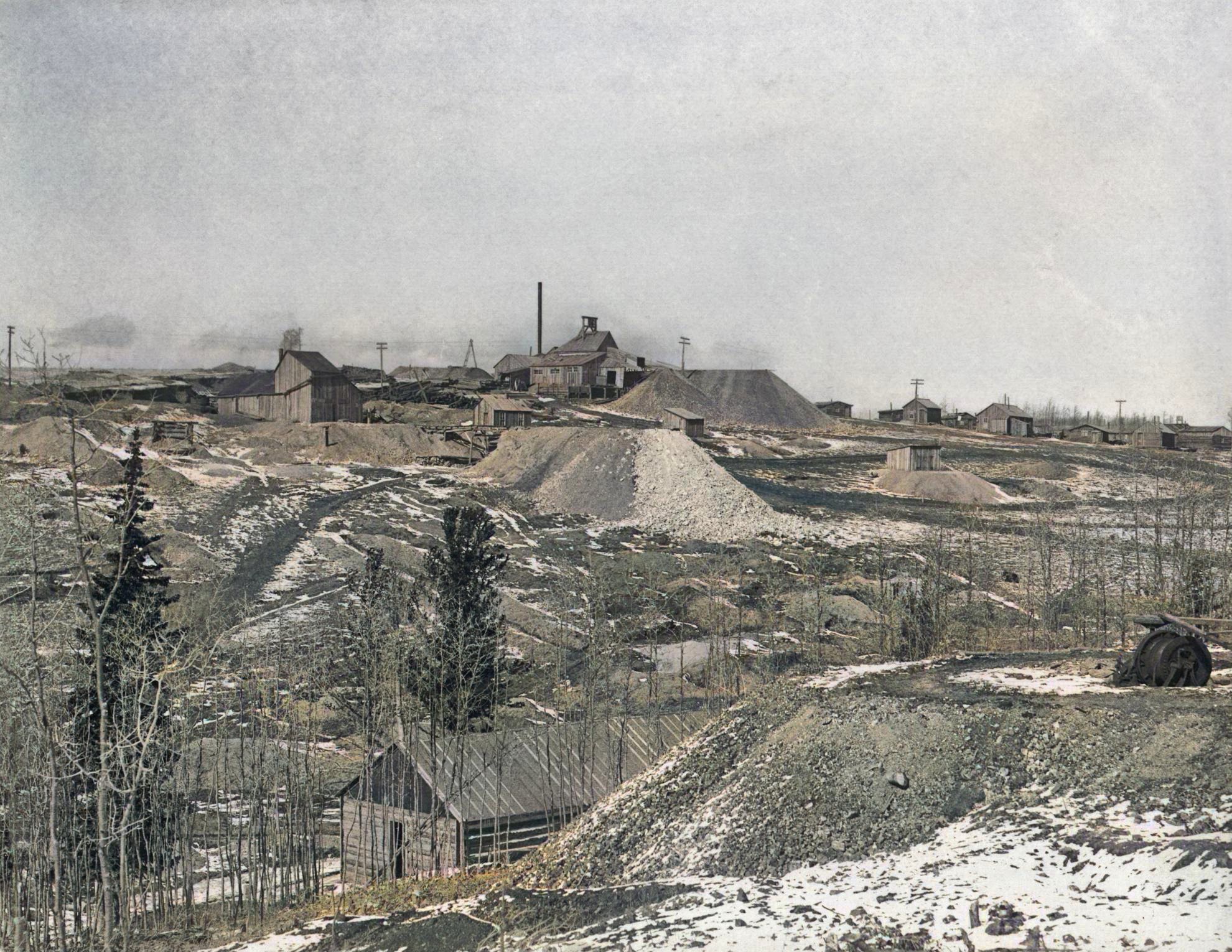
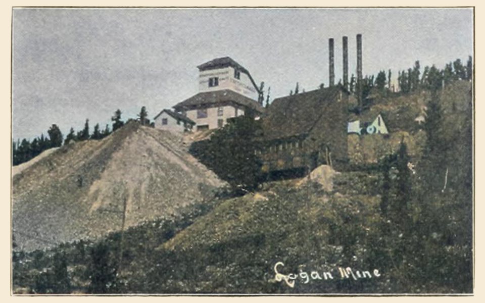
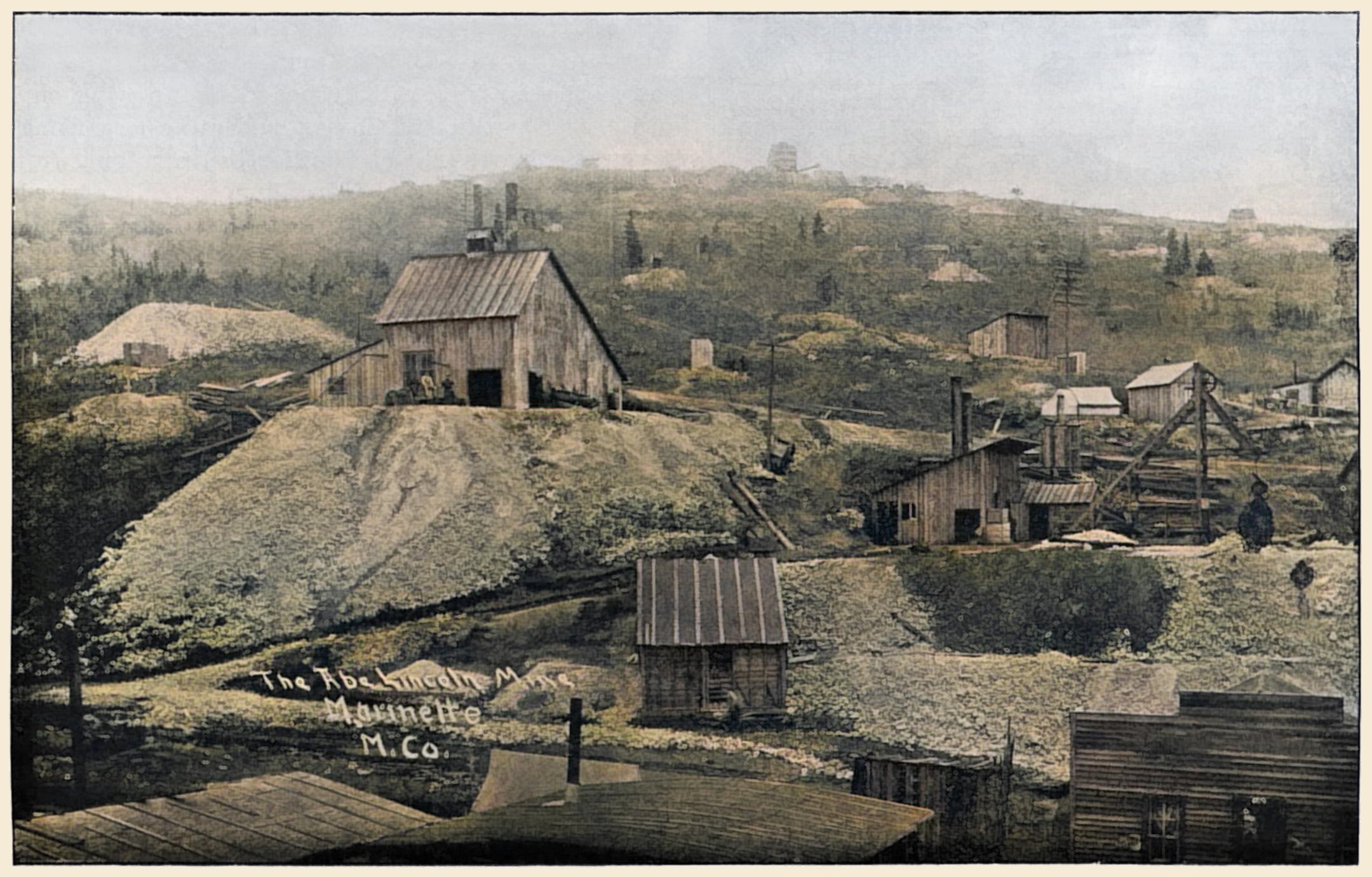
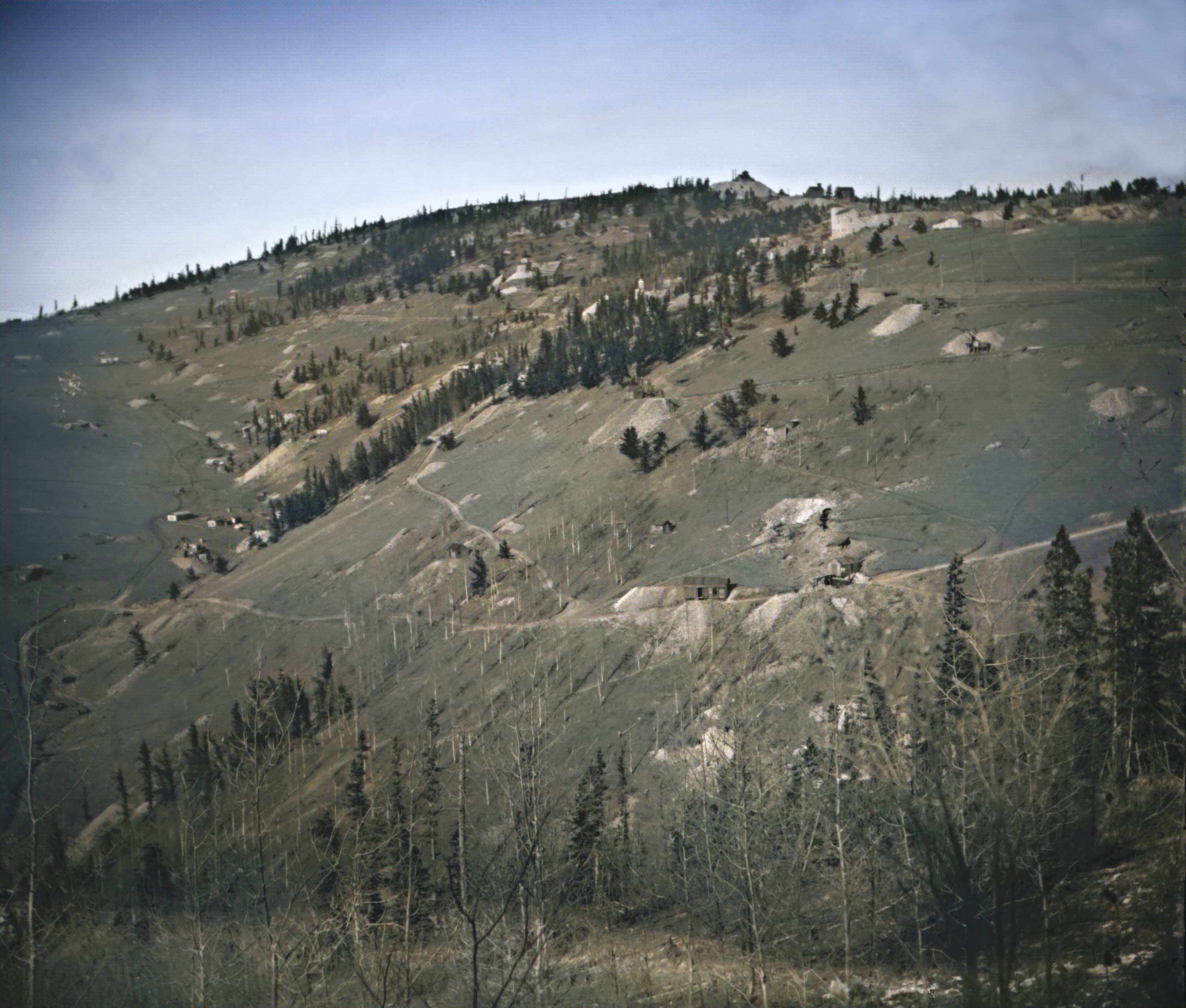
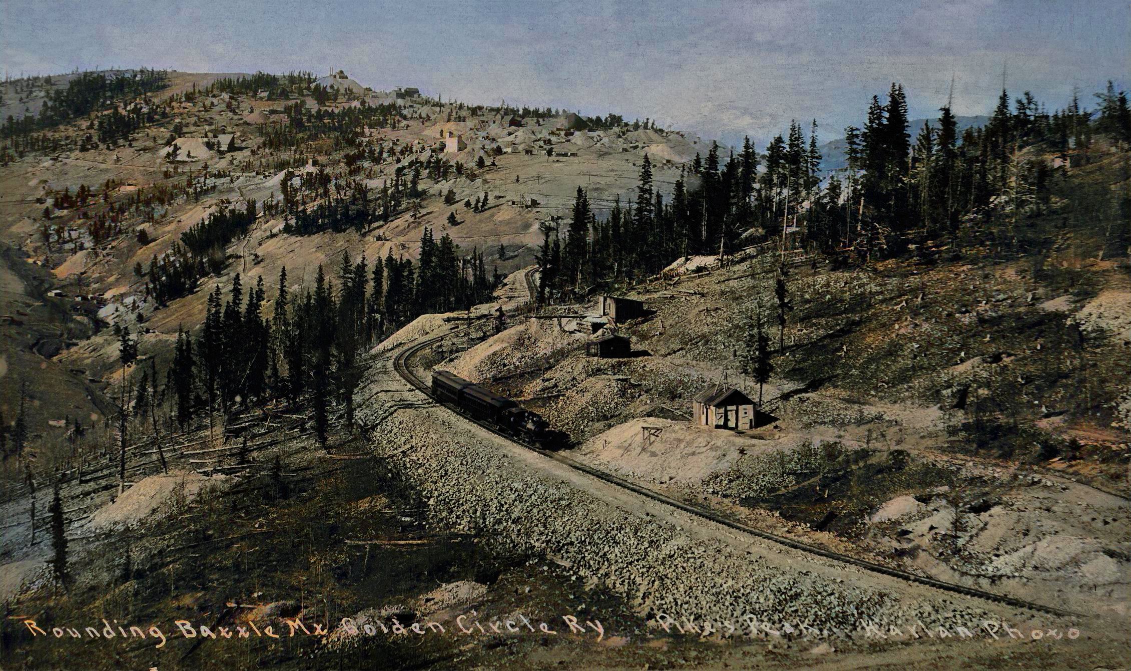
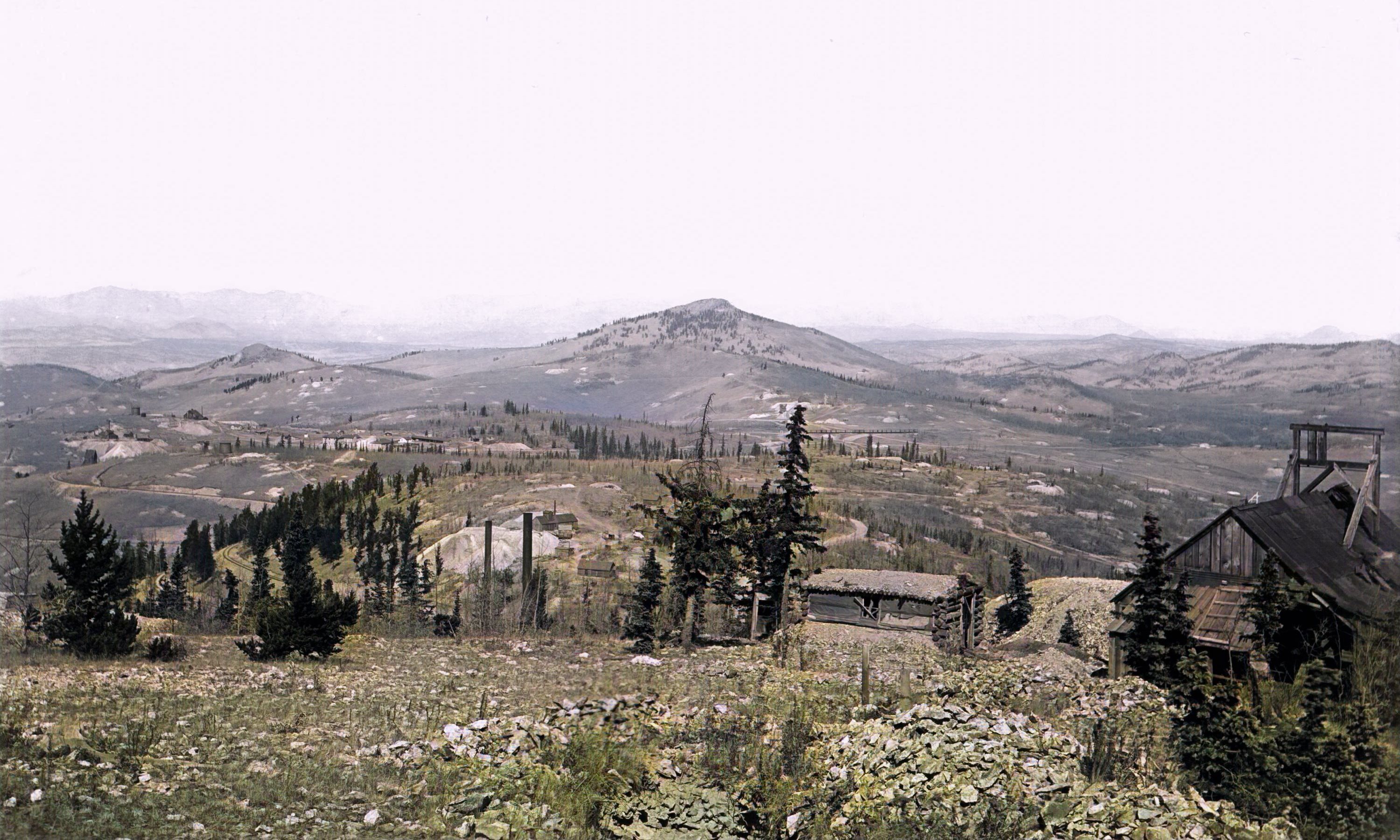
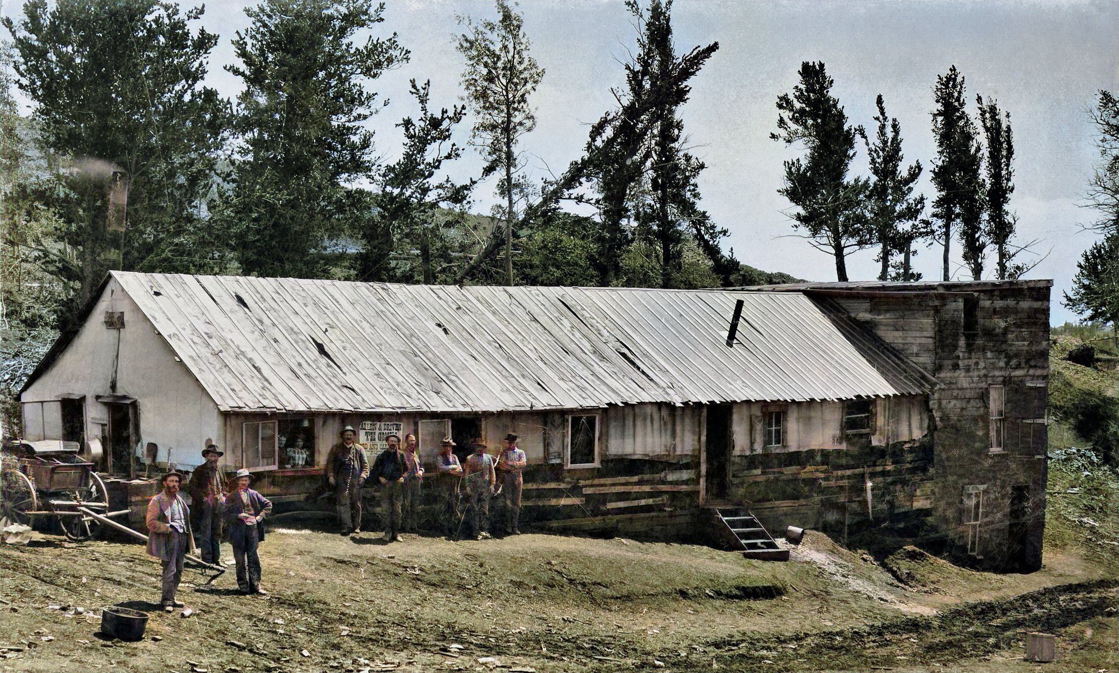
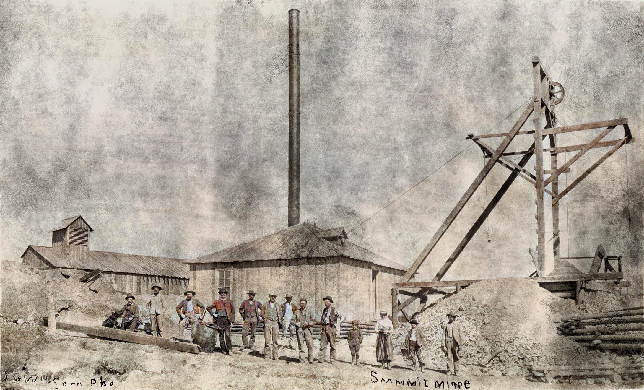
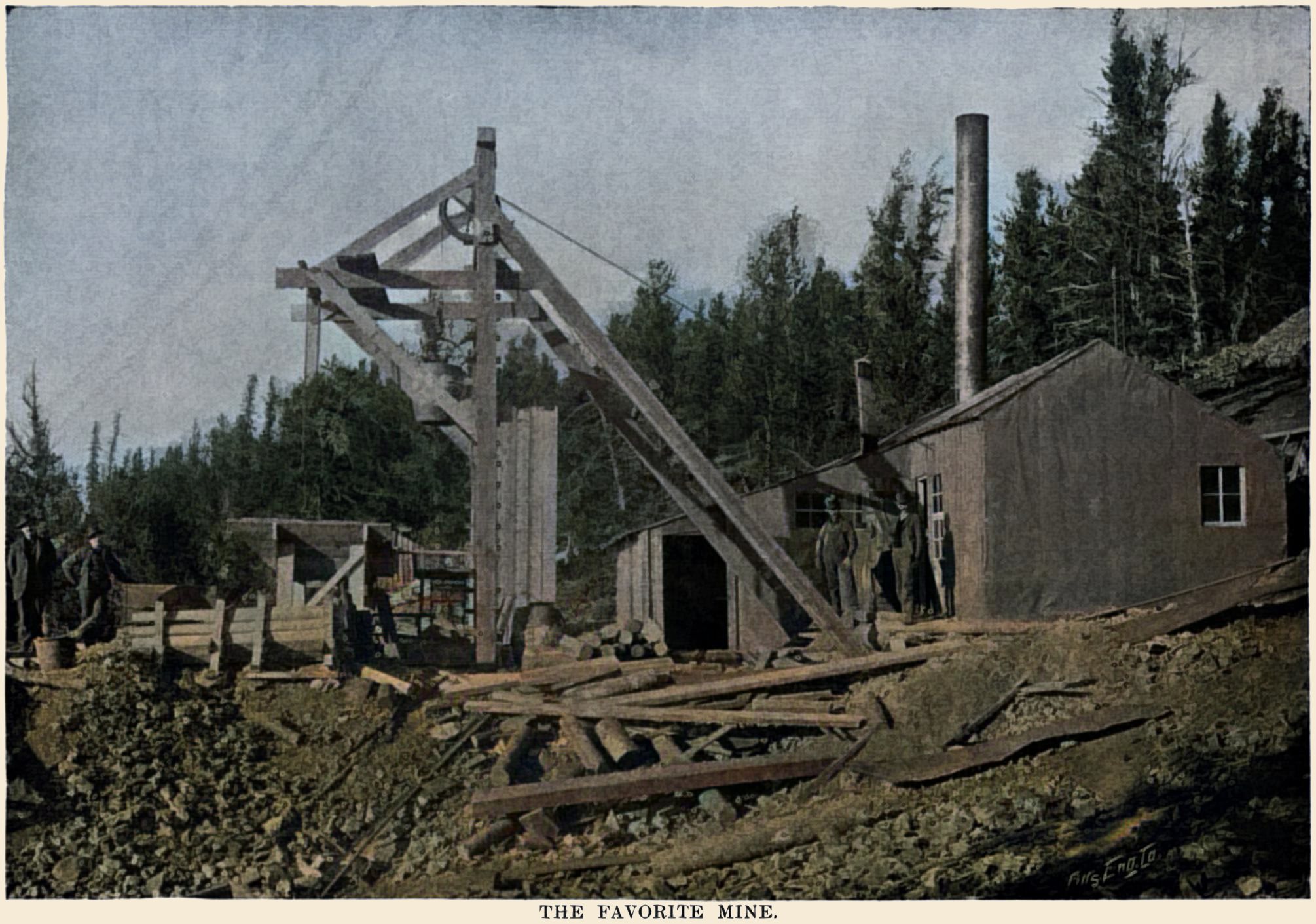
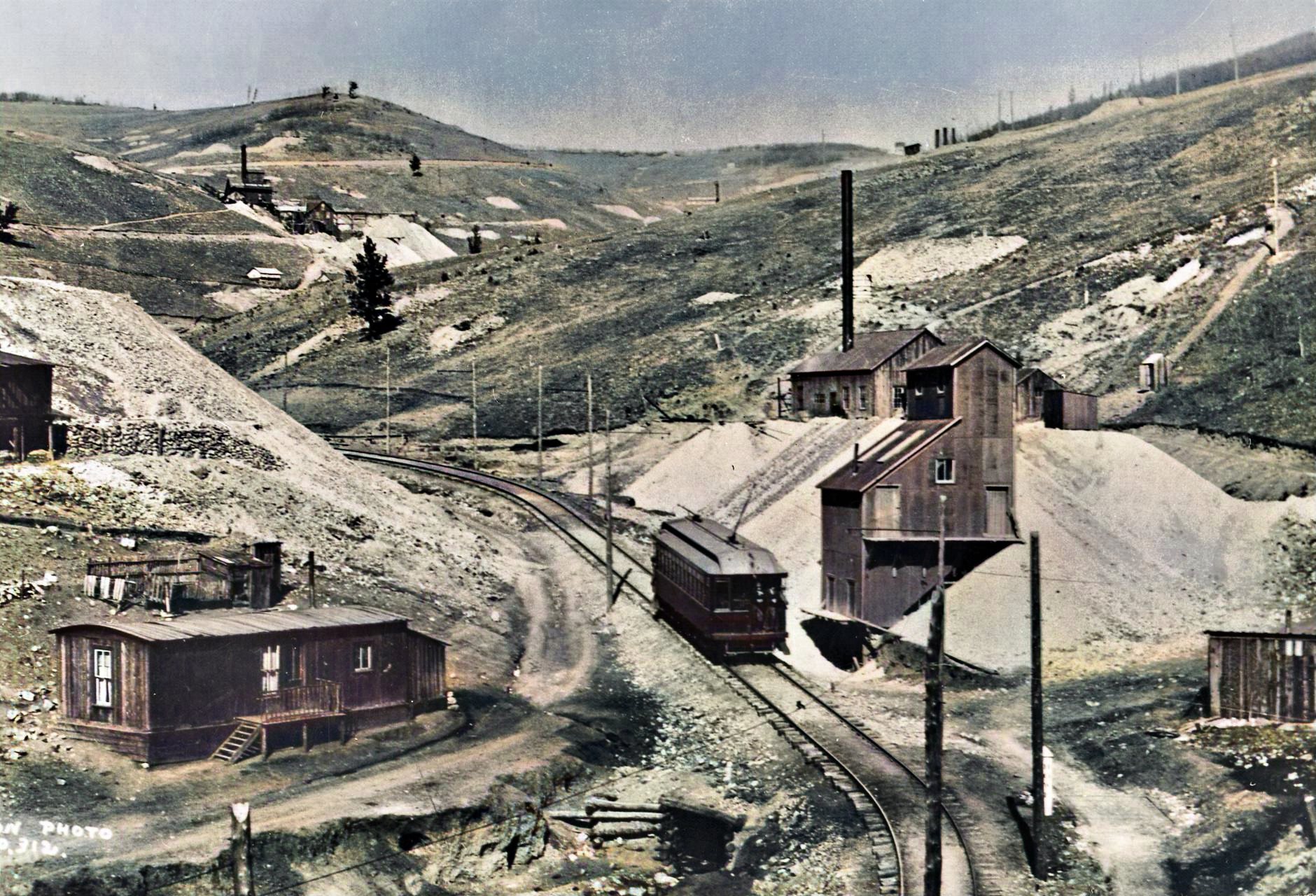
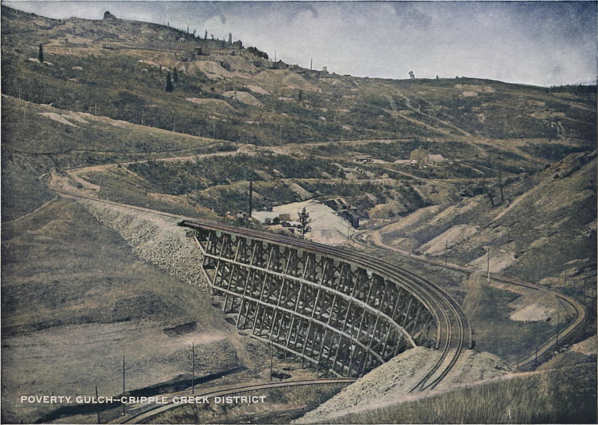
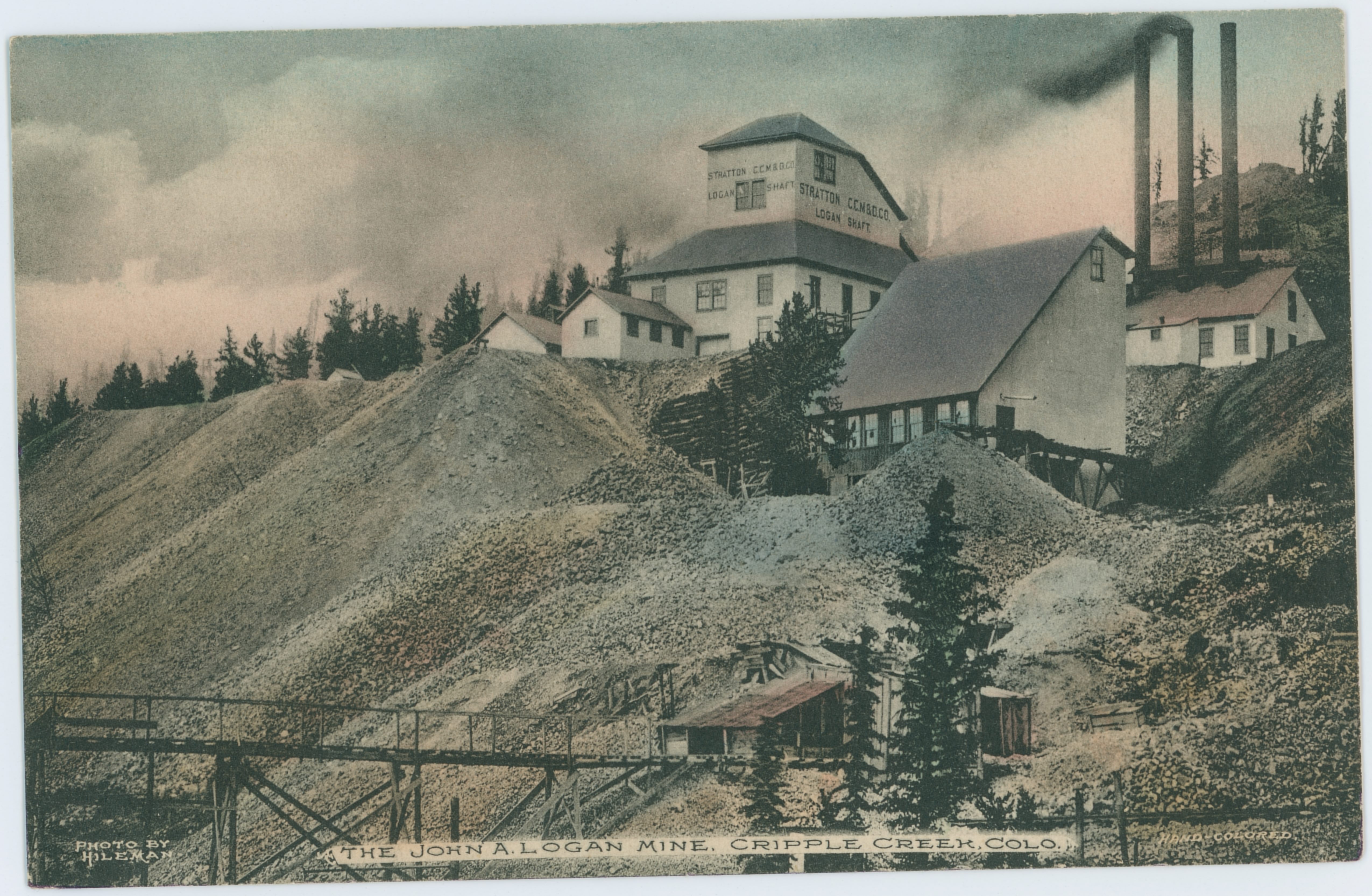
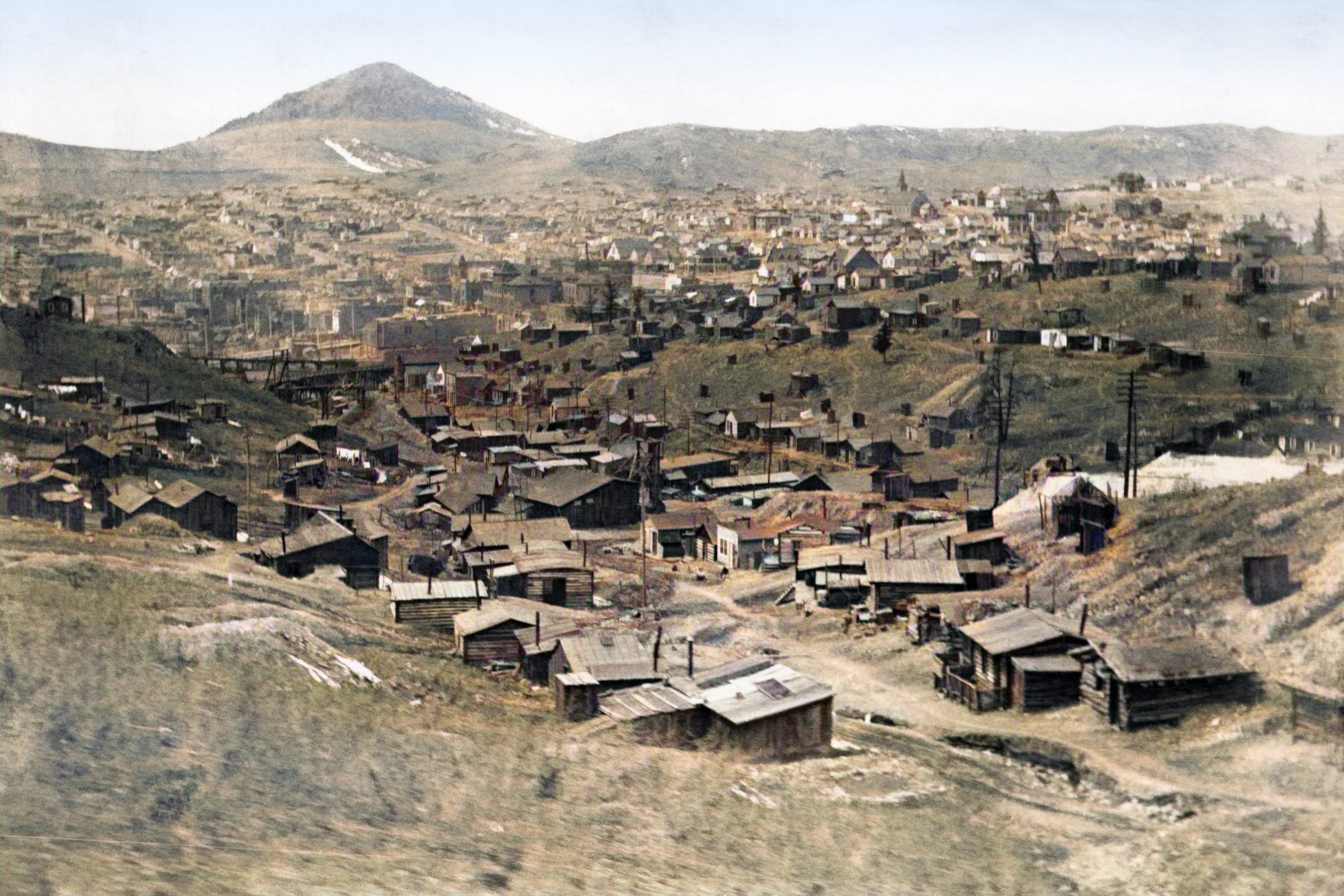
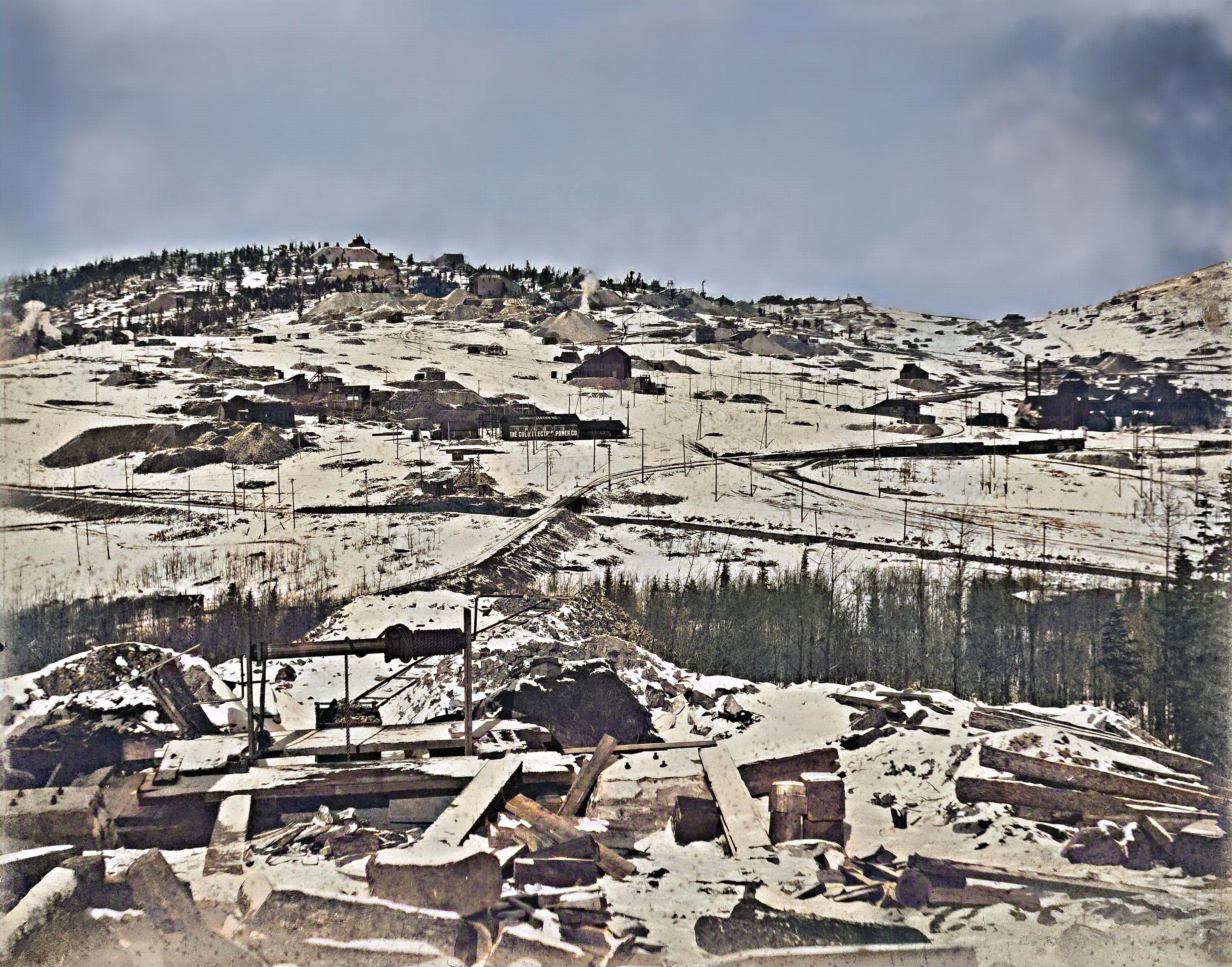
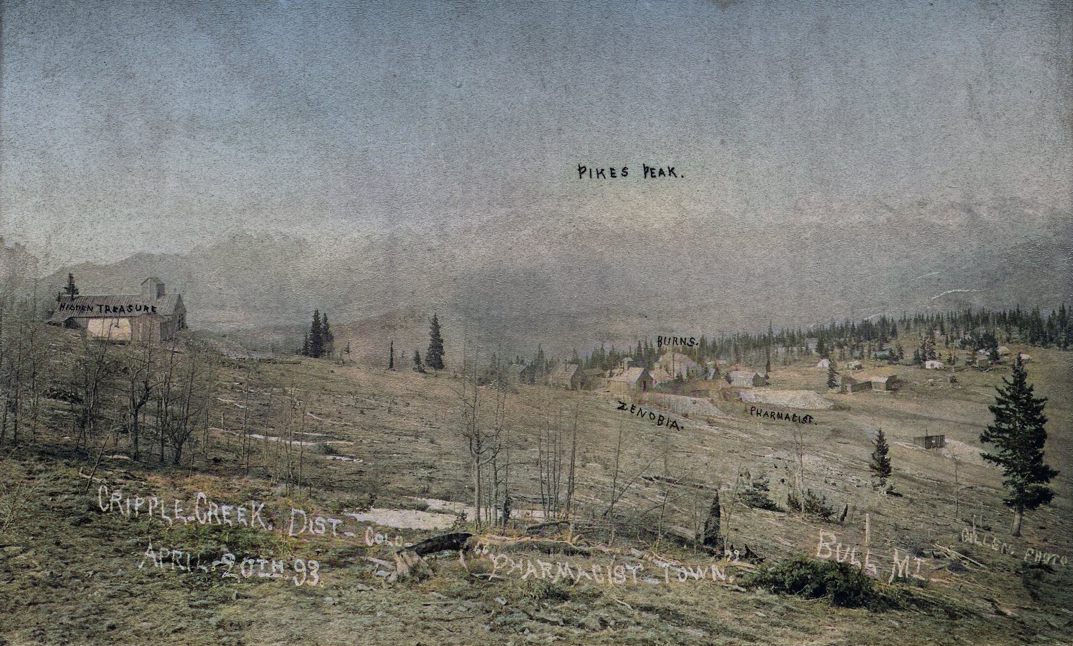
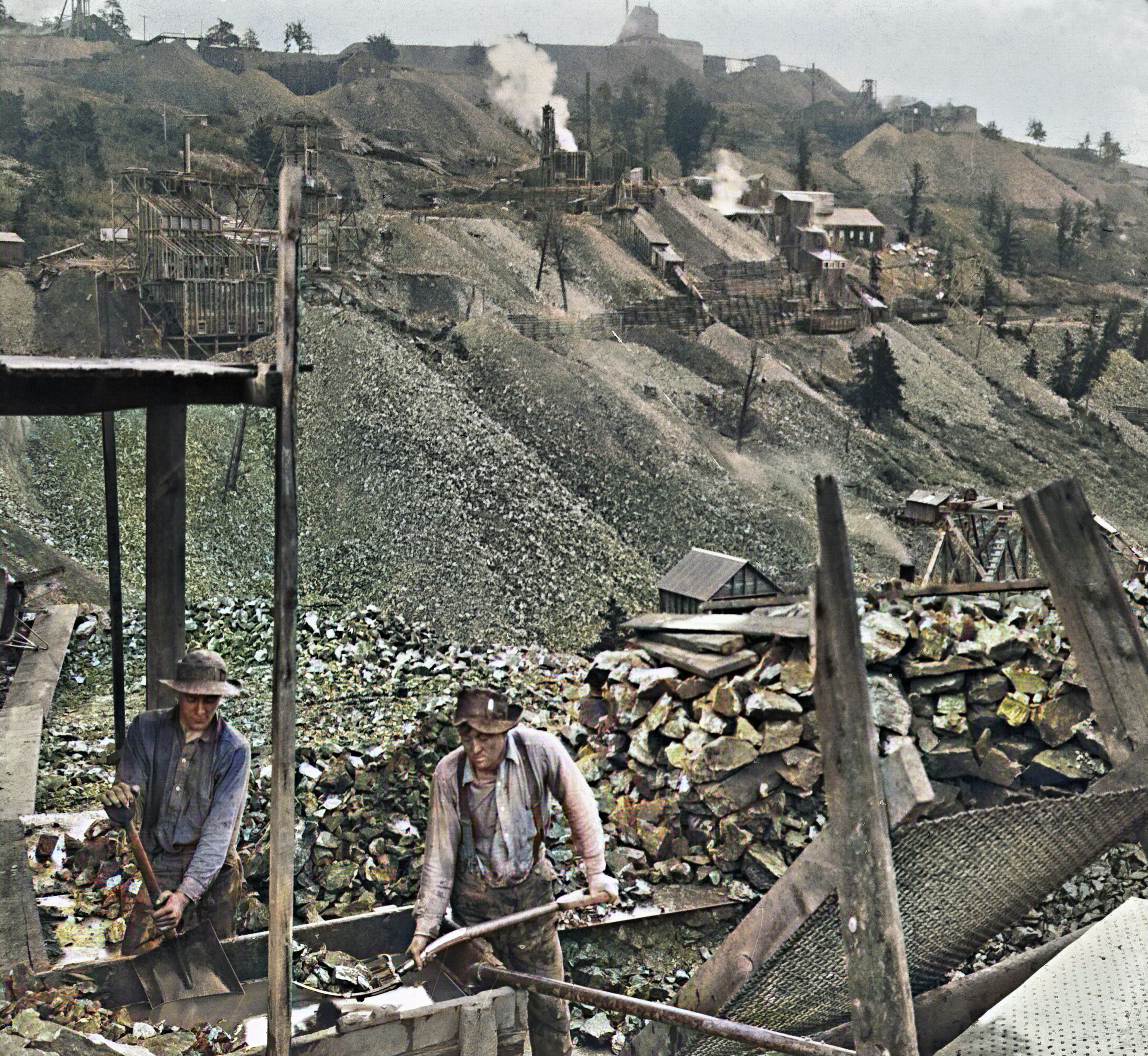
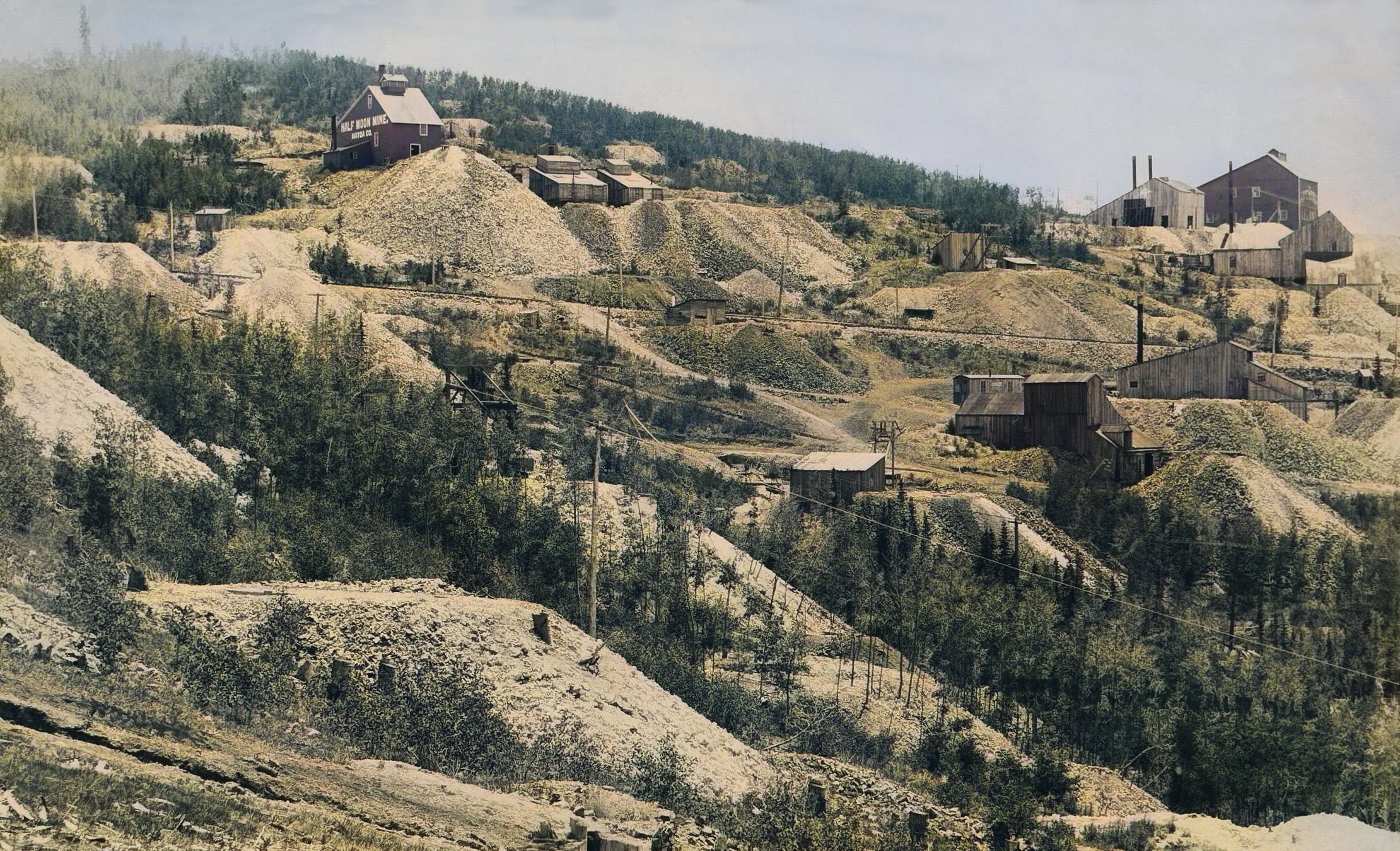
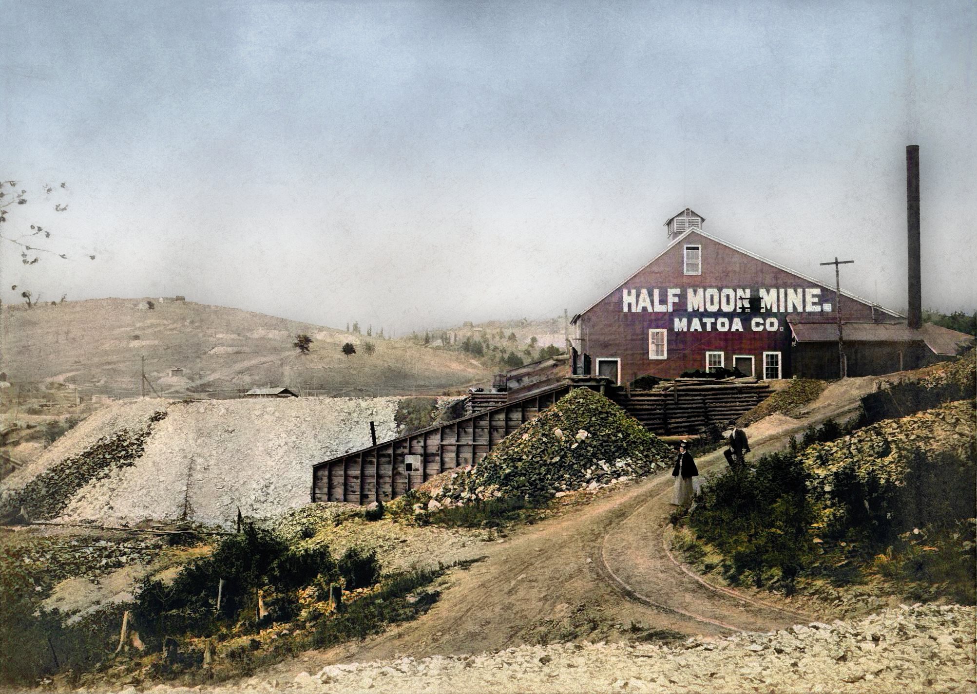
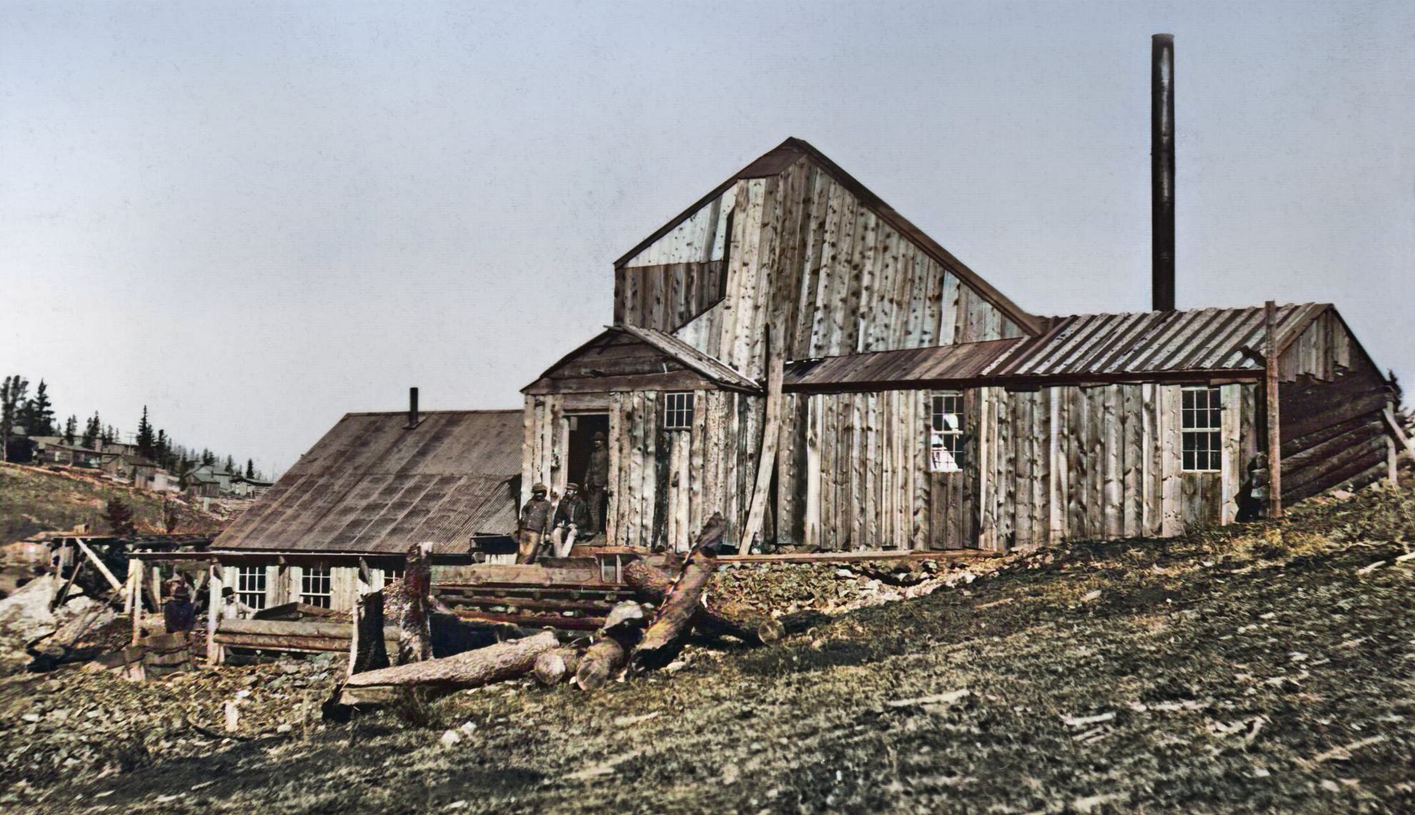
I added images from my collection, and procured the coloring of the images, source paper had only 1 small pic of the Logan Mine.
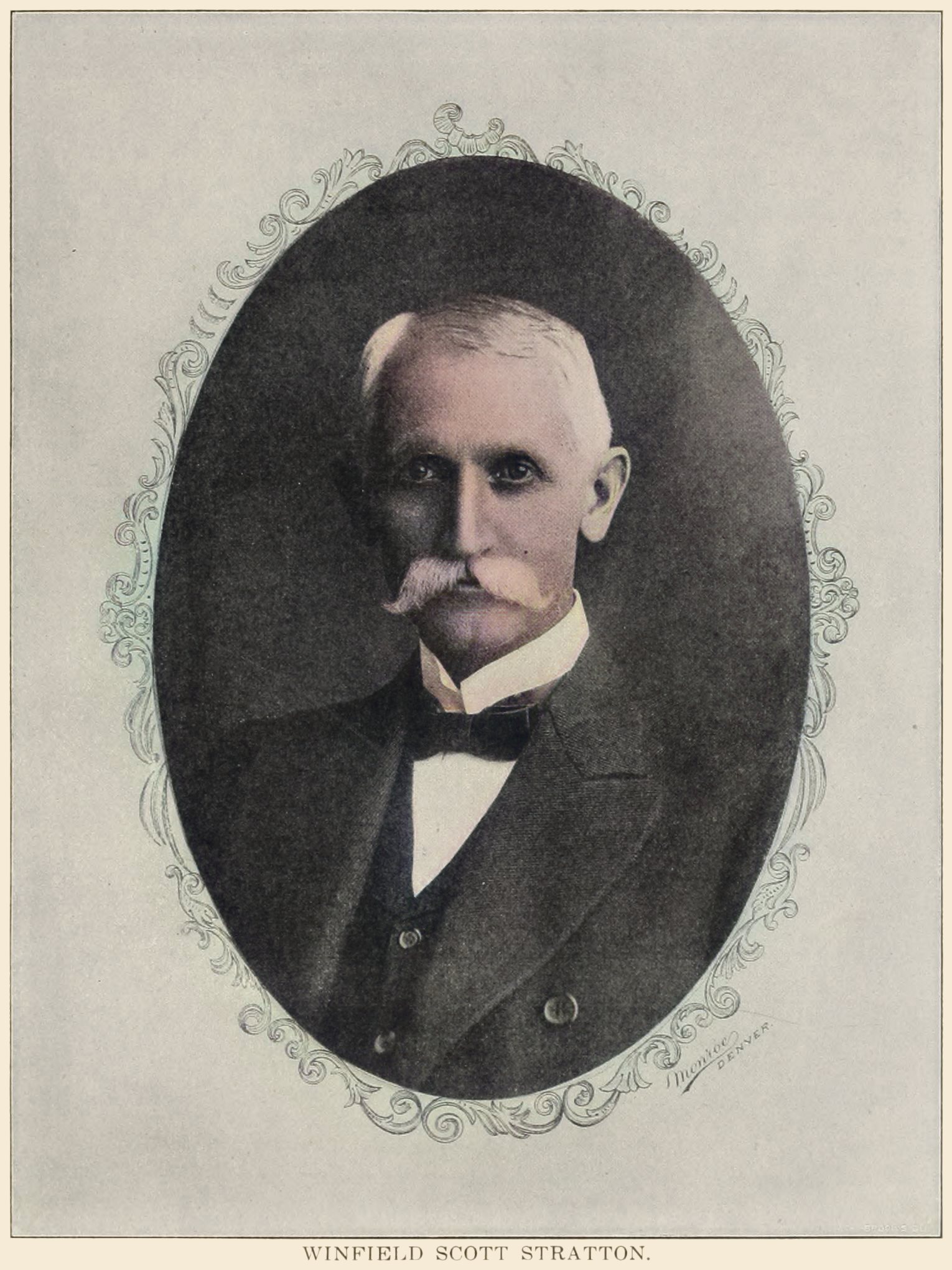
When the hand of death struck down W. S. Stratton, the Cripple Creek district lost a friend, whose faith in the future of deep mining was so strong and firm that he spent millions in the acquirement of acreage, and had started the most gigantic projects to prove his theories ever conceived in the mind of a scientific mining man.
The late W. S. Stratton was a man of action not of words. He saw and believed, and was always willing to back his belief with money. It is such men who are beneficial to a locality.
They upbuild. Their improvements are of a character that are lasting, and serve for an indefinite time for the welfare and betterment of all mankind. At first the improvement is not so noticeable, or the effect as great, but in time they are felt and appreciated.
In the years to come the late W. S. Stratton's projects will all have been carried out, and then, and not until then, can any one fully appreciate the magnitude of the undertakings he started.
The desire and dream of the late millionaire was to demonstrate that in the northern end of the district there was to be found, with development, just as rich and great ore bodies as was found in the southern area of the camp.
His conclusion was not reached on the say-so of any person or number of persons. Close study, along scientific lines, was his guide. Many a day he tramped over Gold, Globe, Ironclad and Bull hills, studying the geological conditions. This place and that place were prospected.
His practiced eye saw everything; nothing escaped his keen scrutiny.
After the sale of his famous bonanza, the Independence, on Battle mountain, he began to buy north-end acreage. Property he sought, and, while many ran the price up, he went steadily ahead until he had expended about $4,500,000 of the $10,000,000 he had just received.
His especial favorites were Gold, Globe, Ironclad and Bull hills. On those hills he acquired hundreds of acres of territory. Then he formed the Stratton Cripple Creek Mining and Development Company, in which all the acreage was included.
In September, 1900, he started active operations, and for a period of ten months he expended the enormous sum of close to $500,000, all of which came from his private purse.
A half a million dollars!
Few people would put up that sum without anything coming in, but Mr. Stratton was demonstrating his theories. He knew that he would open wondrous ore bodies and that the money was being wisely spent.
That sum does not include the vast amount he spent in equipping the various shafts with machinery, or the development performed prior to forming the big corporation.
Deep mining, he thought, would prove profitable to the man who had the nerve to go ahead and not worry about what he was spending. His hobby was Globe hill.
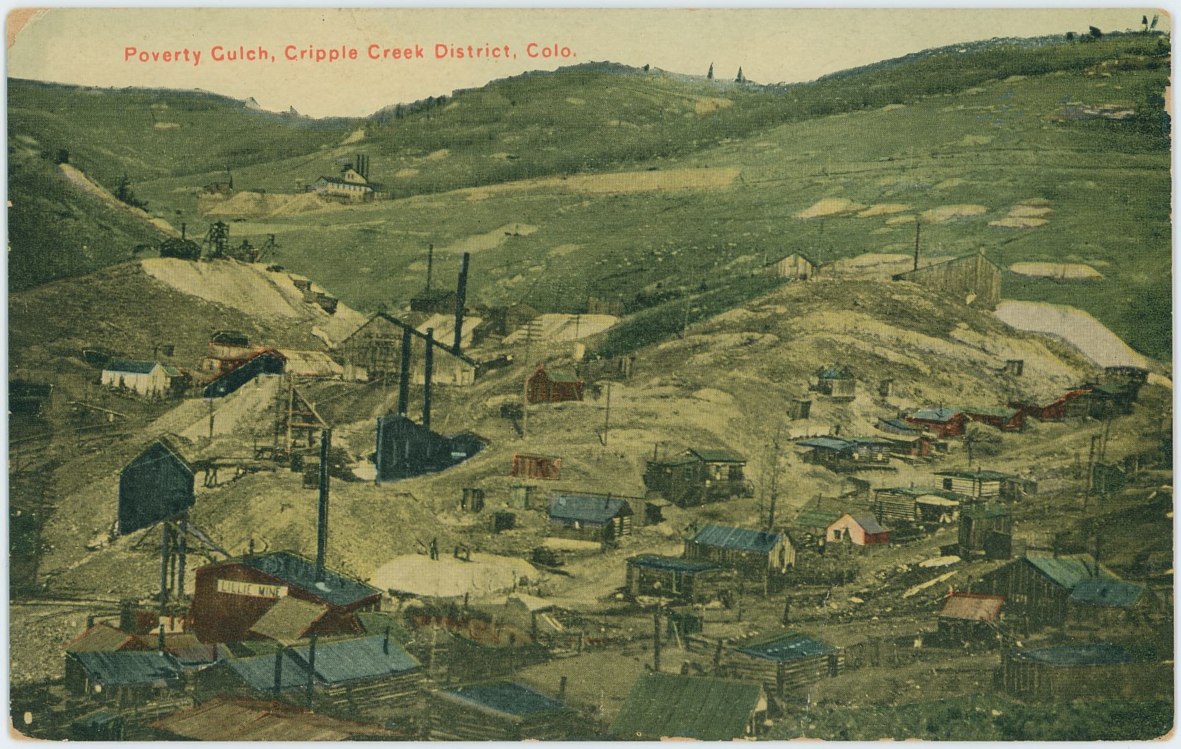
The geological conditions were perfect there for the opening of great ore bodies. He figured that the granite of Poverty gulch was dipping in the hill at such a rate that it would be cut at a depth varying from 1,800 feet to 2,000 feet.
When the granite was encountered, he theorized, great ore bodies would be encountered.
With that theory well in his mind he projected the Lady Stith shaft, and gave orders to commence sinking and go to the depth of 2,000 feet. The shaft is the largest in the district, being 4½ by 15 feet 4 inches in the clear. No one, aside from W. S. Stratton, would ever have had the nerve to even project such an undertaking, much less start it and pay the expenses of such a gigantic operation.
The shaft contained three compartments. One was equipped with a cage, for the cars ran in the levels extended for exploitation. Another one was used for a bucket, so sinking could be carried on without interruption, while the third one was used as the man-way and for air pipes.
The shaft was started in an extinct thermal spring that has excited much mental speculation on the part of geologists and mining engineers. Many mistake the place as the seat of volcanic action or an old crater.
Mr. Stratton recognized what it was, and studied the conditions long and carefully. Whether the late Mr. Stratton figured that from the porous and barren condition at surface and just below, that the values had been leached out by the thermal waters and deposited below was never learned from him, but certain it was that his theories were that water played a most important part in the ore deposits of the hill.
The leached condition of the veins near surface show that the ascending, descending and circulating waters robbed the veins of the values, but where they were afterwards deposited is hard to tell. It would be natural to believe that the descending waters removed the values to great depth, and it was along those lines that development work was pushed.
On the surface there is a great mass of thoroughly oxidized ore that averages $20 to the ton. W. G. Rice, the present general manager of the Stratton company, is now figuring on installing a huge cyanide mill on the hill and treating the mass of ore, which will mean an enormous saving to the estate over the present manner of shipping to the mills.
There is little doubt but that the mill will be a great success, and for the very reason that other parts of the hill yield rock that is thoroughly adapted to the cyanide process.
General Manager W. G. Rice is striving hard to make of the Stratton properties an estate that will fully justify the dreams of the late owner. Mr. Rice took charge of the company as general manager on the first of June, 1901. His business ability soon won for him the respect and admiration of every one. After a personal examination of the properties Mr. Rice started the work of the mines, and from the first month the great corporation was on a paying basis.
That the late Mr. Stratton had abundant faith in the future and believed in deep mining was evidenced by the amount of work he did on Bull and other hills.
The American Eagles shaft is an example. The floor of the bottom level is 1,500 feet below the collar of the shaft. Drifting and cross-cutting to the number of 15,080 feet has been performed there.
The John A. Logan shaft is 1,400 feet deep, while the drifting and cross-cutting exceeds fifteen thousand feet by 330.
The Abe Lincoln, that had been closed, was taken up and a producer made of it. To-day the Abe Lincoln has a large force of men, and is yielding a handsome profit to the estate.
In the Deerhorn shaft, which is 567 feet deep, 8,720 feet of lateral work has been done.
The work of extending and completing the Chicago-Cripple Creek tunnel was started and carried forward. The main tunnel, at the point it connects with the Plymouth Rock shaft, is 4,170 feet, while the laterals extended off total to 3,520 feet.
The now Plymouth Rock shaft, better known as the Lady Stith, is 655 feet deep, while there has been performed a total of 2,315 feet of drifting and cross-cutting.
In the Six Points and Longfellow shafts considerable lateral work was done.
On the Zenobia a new three-compartment shaft was sunk. It is now 530 feet in depth, while the levels have been pushed a total distance of 510 feet.
In the old Orpha May the greatest amount of drifting and cross-cutting has been done, a total of 20,210 feet of work.
It will be seen by these figures that Mr. Stratton was always busy, and still he did not accomplish as much as he desired. His ambition was to open a great bonanza, greater than he opened on Battle mountain.
From June 1, 1901, up to the close of the year, there has been shipped from his property close to $800,000 worth of gold-bearing ore. The policy of the late millionaire was to develop and block out.
He had plenty of money. He did not have to take any out of the ground to keep himself going. So long as he knew the development was of a satisfactory character he went ahead, just as he did when he was putting up $50,000 a month to meet the pay roll.
Mr. Stratton believed in development. He believed in the great north end and he backed his belief by spending his money, and that is why the Cripple Creek district lost its best friend when death struck him down and forever stilled the hand that was directing and demonstrating the future possibilities of the north end.
A complete list of the mining property owned by the Stratton Cripple Creek Mining and Development Company follows:
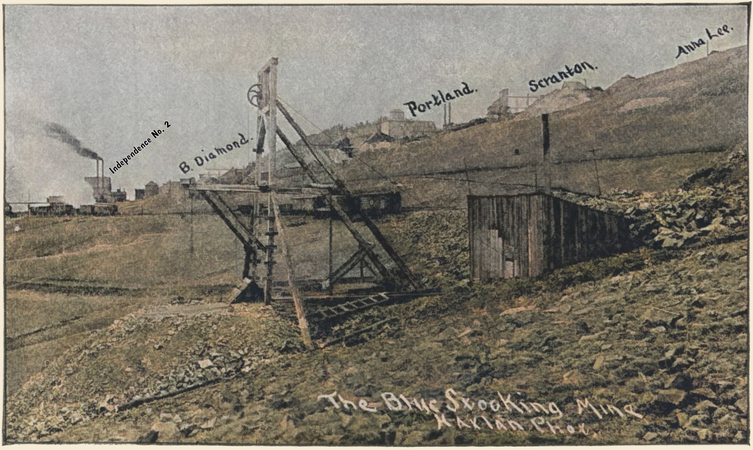
Battle Mountain, Showing the Blue Stocking,
Independence No. 2, Black Diamond, Portland,
Scranton and Anna Lee Mines Marked Out
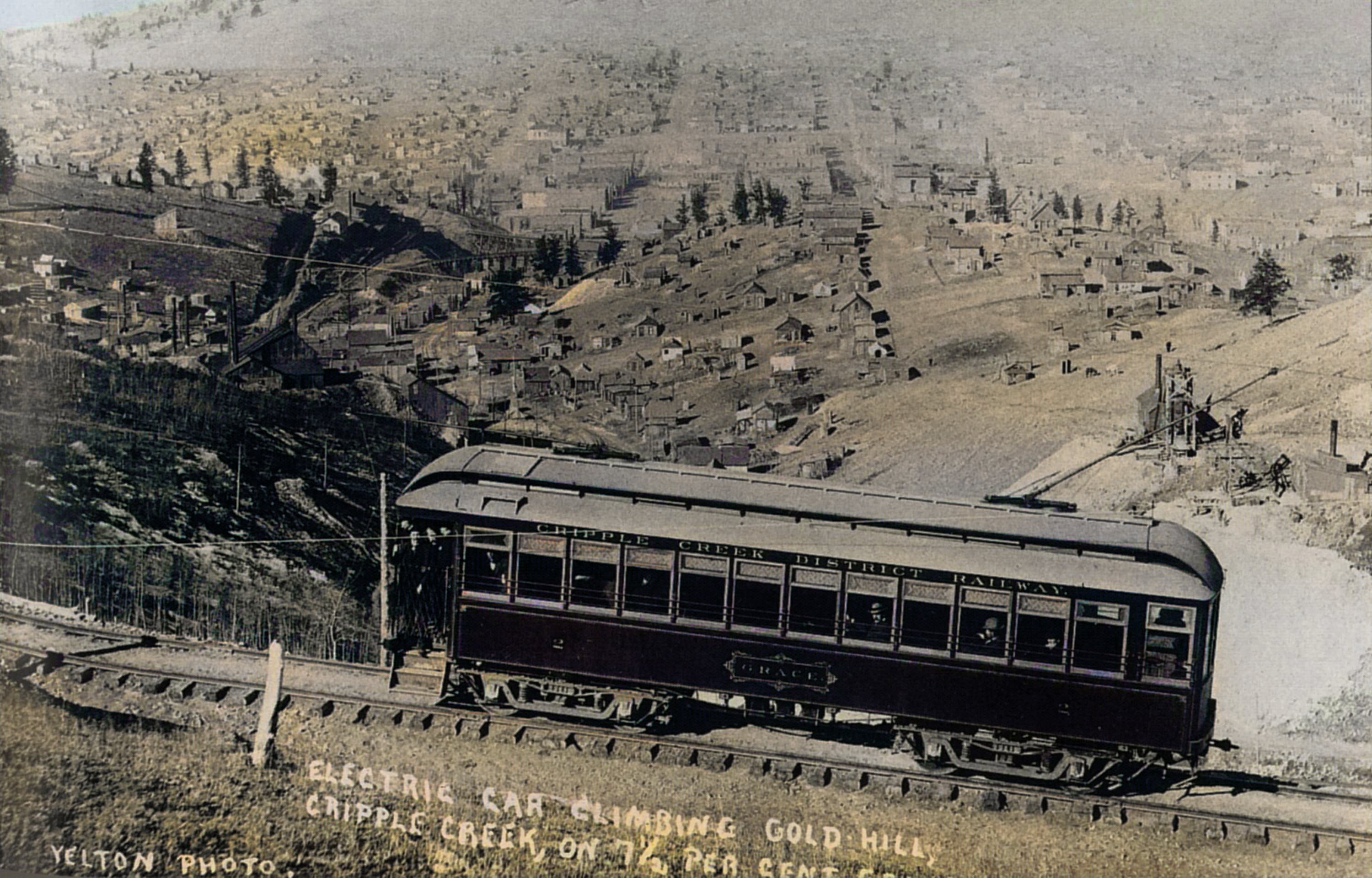
Cripple Creek District Railway Trolley No. 2,
Named "Grace" Climbing Globe & Gold Hill
High Above Poverty Gulch & Cripple Creek.
| Claim Name | Acreage |
|---|---|
| Abe Lincoln lode | 2.260 acres adopted, 0.158 acres |
| American Eagles group American Eagle No. 1 lode American Eagle No. 2 lode American Eagle No. 3 lode |
8.899 acres |
| Temonji group Baby McKee lode Clayton E. lode T.E.M.O.M.J. lode |
21.605 acres |
| Badger Boy lode | 10.260 acres |
| Bennie lode | 9.950 acres |
| Benny lode | 1.869 acres |
| Blue Chime lode | 1.380 acres |
| Blue Stocking lode | 3.610 acres |
| Brooklyn and Lucy group Brooklyn lode Lucy lode |
6.156 acres |
| Brown Legging group Brown Legging lode Monarch lode North Star lode Silver State lode |
26.500 acres |
| Callie lode | 4.358 acres |
| Cary M. Stanley lode | 5.409 acres |
| Chance lode | 0.581 acres |
| City of Paris lode | 5.550 acres |
| Close Shave group Close Shave lode Globe lode Lady Stith lode |
15.926 acres |
| Colorado King lode | 5.599 acres |
| Crescent lode | 5.546 acres |
| Dante lode | 0.153 acres |
| Deerhorn group Deer Horn lode Deer Horn No. 2 lode Pride of the Rockies lode |
13.600 acres |
| Edith F. lode | 0.450 acres |
| Ella B. lode | 0.941 acres |
| F. R. Belle lode | 3.752 acres |
| Favorite lode | 8.970 acres |
| Foggy group {Chicago Tunnel (aka Chicago & Cripple Creek Tunnel)] Foggy lode Good Enough lode Happy Boy lode |
13.529 acres |
| Forgotten lode | 0.279 acres |
| Four Per Cent lode | 0.923 acres |
| Fraction lode | 3.933 acres |
| Garfield lode | 2.771 acres |
| Geneva lode | 9.772 acres |
| Gold Pass lode | 1.553 acres |
| Grouse group Grouse lode Shertloff lode Star of Bethlehem lode |
11.406 acres |
| Harlan H. lode | 0.821 acres |
| Hidden Treasure lode | 5.258 acres |
| High Five group High Five lode Log Cabin lode Plymouth Rock No. 1 lode Plymouth Rock No. 2 lode Worlds Fair lode |
40.240 acres |
| Home Fraction lode | 4.220 acres |
| Hurricane lode | 4.820 acres |
| lowanna Iowana lode | 5.820 acres |
| Ireland Placer lode | 0.926 acres |
| J. M. F. lode, half interest | 0.193 acres |
| Jack Rabbitt's Don't understand this one, as the only Jack Rabitt's lode name I know of belongs to the Isabella Co.; Jack Rabbit lode Jack Rabit No. 2 lode Jack Rabit No. 3 lode Jack Rabit No. 4 lode |
19.350 acres |
| Jewel lode | 7.020 acres |
| John A. Logan lode | 8.420 acres |
| Jubilee lode | 1.350 acres |
| Key West lode | 1.137 acres |
| King Solomon lode | 1.168 acres |
| Lamar lode | 0.535 acres |
| Lelia lode | 7.377 acres |
| Lillie lode | 7.970 acres |
| Little Dick group Little Dick lode Mariposa lode Mariposa No. 1 lode Montazuma lode |
20.608 acres |
| Lonely lode | 0.700 acres |
| Longfellow's group Longfellow lode Longfellow No. 2 lode |
18.140 acres |
| Los Angeles lode | 4.450 acres |
| Lottie lode | 6.770 acres |
| Lucky Bill lode | 0.513 acres |
| Lucky Guss lode | 7.290 acres |
| Mary Gold lode | 2.990 acres |
| Maudie May lode | 2.899 acres |
| May Be So lode | 9.299 acres |
| May Queen lode | 10.030 acres |
| Mineral Rock lode | 0.004 acres |
| Minnie H. and Mossback group Minnie H. lode Moss Back lode |
3.451 acres |
| Mollie McGuire lode | 3.393 acres |
| Mollie W. lode | 0.013 acres |
| Monitor lode | 9.880 acres |
| Montezuma Not found a lode claim fitting this name at logic location to be owned Closest is this: Montezuma No. 1 lode |
1.407 acres |
| Mountain Boy lode | 2.730 acres |
| Nada lode | 0.877 acres |
| New Boston lode | 3.930 acres |
| New Zealand lode | 4.035 acres |
| Night-hawk Night Hawk lode | 8.348 acres |
| Nightingale lode | 8.723 acres |
| O. K. lode | 1.892 acres |
| Orpha May's and Pike's Peak group Orpha May No. 1 lode Orpha May No. 2 lode Pikes Peak lode |
27.600 acres |
| Ouray lode | 1.778 acres |
| Pinafore lode | 0.170 acres |
| Proper lode | 8.884 acres |
| Shoo Fly lode | 4.929 acres |
| Short Topsy lode | 5.050 acres |
| Six Points lode | 7.790 acres |
| Solid Muldoon lode | 1.200 acres |
| Specimen lode | 6.130 acres |
| St. Clair lode | 4.172 acres |
| Summit Mill Site | 5.000 acres |
| Surprise lode | 2.469 acres |
| Tarascon lode | 3.783 acres |
| Telephone lode | 0.934 acres |
| West View lode | 4.390 acres |
| Wolf Tone lode | 0.857 acres |
| Yankee Girl lode | 0.562 acres |
| Totals | 548.342 acres |
| Claim Name | Acreage |
|---|---|
| Granite Hill lode | 2.255 acres |
| Matoa Seems to be southwestern part of Arequa Townsite | 42.596 acres |
| Half Moon lode | 7.217 acres |
| Sacremento group Sacremento lode Midnight lode |
8.595 acres |
| Zenobia lode | 5.960 acres |
| Totals | 66.623 acres |
| Claim Name | Acreage |
|---|---|
| Granite Hill Mining and Milling Co.; Oro lode | 7.285 acres |
| Granite Hill Mining and Milling Co.; Midget lode | 0.532 acres |
| Star King Gold Mining Co.; Fair View lode Only Fair View claims I know about is as two groups outside logical area to be owned, and there are to many Fairview claims that might match this one so I have not linked info to known claim. | 7.610 acres |
| Union Gold Mining Co.; Delmonico lode | 6.780 acres |
| Union Gold Mining Co.; Maud Helena lode | 2.801 acres |
| Zenobia Gold Mining Co.; Christopher Columbus lode | 10,330 acres |
| Totals | 35.338 acres |
| Claim Name | Acreage |
|---|---|
| Arcadia Co. Not been able to understand what this reference so no links to known claim. | 0.120 acres |
| Lone Star lode | 1.097 acres |
| Babe McKee and New Moon lodes | 0.595 acres |
| Mary Ann lode | 0.745 acres |
| War Eagle lode, half interest | 7.727 acres |
| Totals | 10.284 acres |
